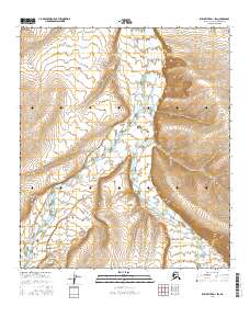
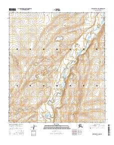
2016 Map of Killik River D-1 SW
USGS Topo · Published 2016About this map
The Killik River and the Okokmilaga River dominate this uninhabited stretch of the North Slope, where the landscape is defined by the braided channels of glacial meltwater. At the confluence of these drainage systems lies Kalukruatchiak Point, a prominent topographical landmark that overlooks the wide river basins. To the southwest, the Imnatchiak Bluff rises above the western bank of the Killik, while the smaller Pediment Cr enters from the southeast. This survey, compiled from data collected between 2006 and 2016, details the complex hydrography and elevation of the northern Alaskan interior before these watercourses exit the Brooks Range foothills. The absence of permanent structures or roads underscores the wilderness character of this region, which remains primarily under the jurisdiction of the Bureau of Land Management and the North Slope Borough.
Find a feature on this map
11 named features on this map. Tap any name to fly to it.
Don’t see what you’re looking for? This feature index may not catch every label — zoom into the map to look around manually.
Map Details
Editions of this 2016 Killik River D-1 SW Map
This is the sole edition of this map. No revisions or reprints were ever made.
Other maps of this area

1951 · Killik River
USGS Topo · 1:250,000

1956 · Killik River
USGS Topo · 1:250,000
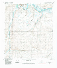
1984 · Killik River D-2
USGS Topo · 1:63,360
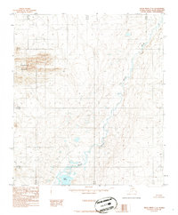
1986 · Killik River C-2
USGS Topo · 1:63,360
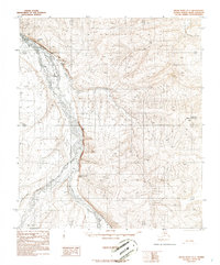
1986 · Killik River D-1
USGS Topo · 1:63,360
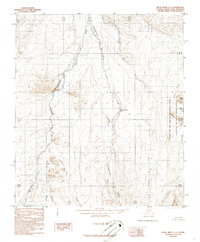
1986 · Killik River C-1
USGS Topo · 1:63,360
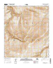
2016 · Killik River D-2 SE
USGS Topo · 1:25,000
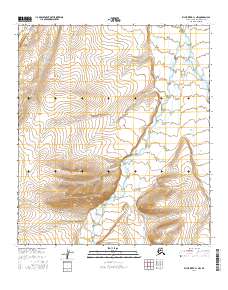
2016 · Killik River C-1 NW
USGS Topo · 1:25,000
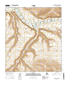
2016 · Killik River D-2 NE
USGS Topo · 1:25,000
2016 · Killik River C-2 NE
USGS Topo · 1:25,000