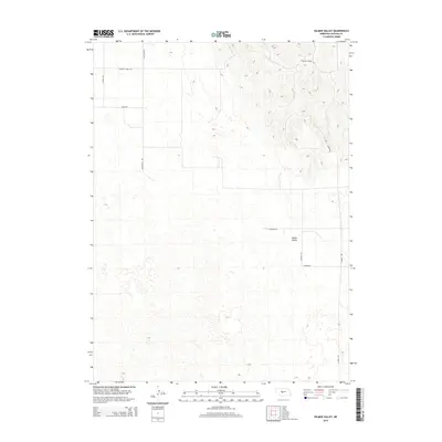
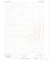
2014 Map of Kilmer Valley
USGS Topo · Published 2014About this map
Kilmer Valley provides the central geographic focus for this Lincoln County landscape, characterized by the distinct topography of the Nebraska Sandhills. The area is defined by a sparse but organized network of rural roads that follow section lines and natural plateaus, such as Garfield Table Rd in the north. These routes often carry the names of local families, including Witthuhn Rd, Auble Rd, and Niedan Rd, offering a direct link for genealogists tracing 20th and 21st-century land ownership in the region. The transition from the flatter tablelands to the more complex valley and dune formations is evident near N Valley Rd and N Brady Rd, illustrating the intersection of human infrastructure with the cattle-grazing terrain of the Great Plains.
Find a feature on this map
10 named features on this map. Tap any name to fly to it.
Don’t see what you’re looking for? This feature index may not catch every label — zoom into the map to look around manually.
Map Details
Editions of this 2014 Kilmer Valley Map
This is the sole edition of this map. No revisions or reprints were ever made.
Other maps of this area

1954 · North Platte
USGS Topo · 1:250,000

1956 · North Platte
USGS Topo · 1:250,000

1957 · North Platte
USGS Topo · 1:250,000

1967 · North Platte
USGS Topo · 1:250,000

1972 · Logan
USGS Topo · 1:24,000

1972 · Arnold
USGS Topo · 1:24,000
1972 · Odencranze Table North
USGS Topo · 1:24,000
1972 · Gandy
USGS Topo · 1:24,000
1972 · Brady NW
USGS Topo · 1:24,000
1972 · Gandy SW
USGS Topo · 1:24,000