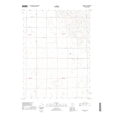
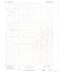
2017 Map of Kilmer Valley
USGS Topo · Published 2017About this map
Kilmer Valley and the surrounding tablelands of Lincoln County are defined by a grid of rural section roads and topographic relief characteristic of the Nebraska sandhills region. This 2017 survey by the U.S. Geological Survey captures the modern transportation network, including long stretches of E Garfield Table Rd and Witthuhn Rd that provide access to the vast agricultural and grazing lands. The map illustrates the township and range system through legal boundaries like t16n r26w, where the landscape is sparsely populated and oriented toward land management and ranching. The alignment of roads such as Township Rd and Niedan Rd reflects the enduring nature of the original land surveys in this part of the state.
Find a feature on this map
15 named features on this map. Tap any name to fly to it.
Don’t see what you’re looking for? This feature index may not catch every label — zoom into the map to look around manually.
Map Details
Editions of this 2017 Kilmer Valley Map
This is the sole edition of this map. No revisions or reprints were ever made.
Other maps of this area

1954 · North Platte
USGS Topo · 1:250,000

1956 · North Platte
USGS Topo · 1:250,000

1957 · North Platte
USGS Topo · 1:250,000

1967 · North Platte
USGS Topo · 1:250,000

1972 · Logan
USGS Topo · 1:24,000

1972 · Arnold
USGS Topo · 1:24,000
1972 · Odencranze Table North
USGS Topo · 1:24,000
1972 · Gandy
USGS Topo · 1:24,000
1972 · Brady NW
USGS Topo · 1:24,000
1972 · Gandy SW
USGS Topo · 1:24,000