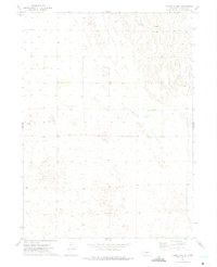
1972 Map of Kilmer Valley
USGS Topo · Published 1975About this map
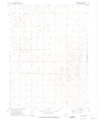
Kilmer Valley dominates this section of the Nebraska Sandhills, a landscape shaped by wind and intermittent water sources. In the early 1970s, this region of Lincoln County remained sparsely populated, characterized by isolated cattle operations and ranching headquarters. The map specifically identifies the Pearce Ranch and Holt Ranch, providing evidence of the settled land use patterns during this era. Numerous instances of the label Well are scattered across the terrain, highlighting the critical importance of groundwater access for livestock and human habitation in this semi-arid environment. The presence of fine red dashed lines indicates a network of fences and field lines, offering a glimpse into the division of range lands and the practical boundaries of agricultural life on the High Plains.
Find a feature on this map
4 named features on this map. Tap any name to fly to it.
Don’t see what you’re looking for? This feature index may not catch every label — zoom into the map to look around manually.
Map Details
Editions of this 1972 Kilmer Valley Map
This is the sole edition of this map. No revisions or reprints were ever made.
Other maps of this area

1954 · North Platte
USGS Topo · 1:250,000

1956 · North Platte
USGS Topo · 1:250,000

1957 · North Platte
USGS Topo · 1:250,000

1967 · North Platte
USGS Topo · 1:250,000

1972 · Logan
USGS Topo · 1:24,000

1972 · Arnold
USGS Topo · 1:24,000
1972 · Odencranze Table North
USGS Topo · 1:24,000
1972 · Gandy
USGS Topo · 1:24,000
1972 · Brady NW
USGS Topo · 1:24,000
1972 · Gandy SW
USGS Topo · 1:24,000