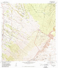
1983 Map of Kilohana
USGS Topo · Published 1983About this map
Haleakala National Park dominates the southeastern portion of this survey, revealing the complex volcanic topography of the Haleakala Crater and its surrounding peaks such as Red Hill and Magnetic Peak. This area is marked by a network of scientific and recreational infrastructure, including the Maui Observation Station and Park Headquarters, alongside rugged hiking routes like the Halemauu Trail and Sliding Sands Trail.
Find a feature on this map
79 named features on this map. Tap any name to fly to it.
Don’t see what you’re looking for? This feature index may not catch every label — zoom into the map to look around manually.
Map Details
Editions of this 1983 Kilohana Map
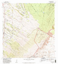
2 editions found
Other maps of this area

1954 · Maui
USGS Topo · 1:250,000

1954 · Paia
USGS Topo · 1:24,000

1954 · Puu O Kali
USGS Topo · 1:24,000

1954 · Makena
USGS Topo · 1:24,000

1957 · Kilohana
USGS Topo · 1:24,000

1957 · Haiku
USGS Topo · 1:24,000

1957 · Lualailua Hills
USGS Topo · 1:24,000

1957 · Nahiku
USGS Topo · 1:24,000

1957 · Kaupo
USGS Topo · 1:24,000

1957 · Keanae
USGS Topo · 1:24,000