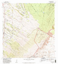
1983 Map of Kilohana
USGS Topo · Published 1983About this map
Haleakala dominates the landscape of East Maui, where the transition from agricultural homesteads to protected wilderness is clearly delineated. The map details a complex system of land divisions, including Haleakala Homesteads, Kamehameiki Homesteads, and Waiohuli-Keokea Homesteads, reflecting the managed settlement patterns on the mountain's leeward slopes. These established communities like Waiakoa and Pulehu give way to the forested upper elevations of the Makawao Forest Reserve and Koolau Forest Reserve.
Find a feature on this map
52 named features on this map. Tap any name to fly to it.
Don’t see what you’re looking for? This feature index may not catch every label — zoom into the map to look around manually.
Map Details
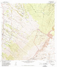
Editions of this 1983 Kilohana Map
2 editions found
Other maps of this area

1954 · Maui
USGS Topo · 1:250,000

1954 · Paia
USGS Topo · 1:24,000

1954 · Puu O Kali
USGS Topo · 1:24,000

1954 · Makena
USGS Topo · 1:24,000

1957 · Kilohana
USGS Topo · 1:24,000

1957 · Haiku
USGS Topo · 1:24,000

1957 · Lualailua Hills
USGS Topo · 1:24,000

1957 · Nahiku
USGS Topo · 1:24,000

1957 · Kaupo
USGS Topo · 1:24,000

1957 · Keanae
USGS Topo · 1:24,000