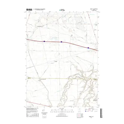
2016 Map of Kimball
USGS Topo · Published 2016About this map
The Huron River and its multiple tributaries, including the West Branch Huron River and East Branch Huron River, define the agricultural landscape of this Erie and Huron County borderland. Settled clusters such as Bloomingville, Kimball, and North Monroeville are linked by a dense network of township and county roads, reflecting the region's enduring rural organization. Local history is anchored by several burial grounds, including the Oxford Lutheran Cem and Saint Johns Cem, which provide specific points of reference for genealogical research in these townships. While the northern section is marked by drainage systems like Taylor Ditch and Lindsey Ditch, the southern portion shows the proximity to Norwalk. A modern infrastructure layer is visible through the path of Twp Hwy 30 and the presence of the Zorn Acres Airport.
Find a feature on this map
84 named features on this map. Tap any name to fly to it.
Don’t see what you’re looking for? This feature index may not catch every label — zoom into the map to look around manually.
Map Details
Editions of this 2016 Kimball Map
This is the sole edition of this map. No revisions or reprints were ever made.
Other maps of this area

1901 · Bellevue
USGS Topo · 1:62,500

1903 · Bellevue
USGS Topo · 1:62,500

1904 · Sandusky
USGS Topo · 1:62,500

1915 · Norwalk
USGS Topo · 1:62,500

1915 · Siam
USGS Topo · 1:62,500

1944 · Norwalk
USGS Topo · 1:62,500

1956 · Toledo
USGS Topo · 1:250,000

1959 · Kimball
USGS Topo · 1:24,000

1959 · Milan
USGS Topo · 1:24,000

1959 · Sandusky
USGS Topo · 1:24,000