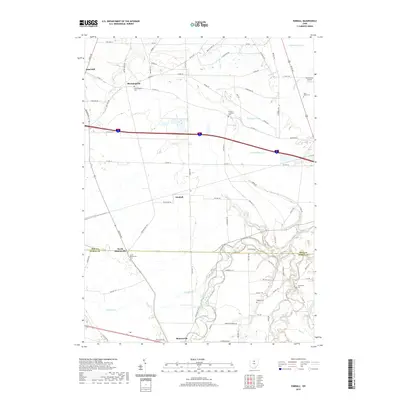
2019 Map of Kimball
USGS Topo · Published 2019About this map
Monroeville and North Monroeville anchor the southern portion of this landscape, situated along the winding corridors of the Huron River and its East Branch. The area is defined by a dense network of water management features, including the Schlessman Ditch, Kuebeler Ditch, and Sherer Ditch, which illustrate the intensive agricultural engineering required for this part of the Erie and Huron county borderlands. These drainage systems crisscross the terrain between small settlements like Kimball and Bloomingville.
Find a feature on this map
80 named features on this map. Tap any name to fly to it.
Don’t see what you’re looking for? This feature index may not catch every label — zoom into the map to look around manually.
Map Details
Editions of this 2019 Kimball Map
This is the sole edition of this map. No revisions or reprints were ever made.
Other maps of this area

1901 · Bellevue
USGS Topo · 1:62,500

1903 · Bellevue
USGS Topo · 1:62,500

1904 · Sandusky
USGS Topo · 1:62,500

1915 · Norwalk
USGS Topo · 1:62,500

1915 · Siam
USGS Topo · 1:62,500

1944 · Norwalk
USGS Topo · 1:62,500

1956 · Toledo
USGS Topo · 1:250,000

1959 · Kimball
USGS Topo · 1:24,000

1959 · Milan
USGS Topo · 1:24,000

1959 · Sandusky
USGS Topo · 1:24,000