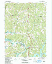
1994 Map of Kimbolton
USGS Topo · Published 1994About this map
Kimbolton and the surrounding townships of Wheeling and Liberty are defined by the convergence of agricultural traditions and modern recreational land use. In the southern half of the map, the Salt Fork State Park and Wildlife Area encompasses a massive portion of the landscape, centered on the broad reaches of Salt Fork Lake and its many inlets like Rocky Fork. This expansion of water and public land contrasts with the traditional settlement patterns found further north near North Salem, where Community Ch and Revival Barn Ch anchor the local rural life. The map also captures the legacy of industry and infrastructure, noting several Drill Holes, an active Strip Mine near Postboy, and the Old Railroad Grade following the path of Wills Creek, marking the shift from commercial rail corridors to local roads.
Find a feature on this map
57 named features on this map. Tap any name to fly to it.
Don’t see what you’re looking for? This feature index may not catch every label — zoom into the map to look around manually.
Map Details
Editions of this 1994 Kimbolton Map
2 editions found
Other maps of this area

1909 · Antrim
USGS Topo · 1:48,000

1909 · Uhrichsville
USGS Topo · 1:62,500

1909 · Cambridge
USGS Topo · 1:62,500

1911 · Antrim
USGS Topo · 1:62,500

1911 · Uhrichsville
USGS Topo · 1:62,500

1911 · Newcomerstown
USGS Topo · 1:62,500

1912 · Cambridge
USGS Topo · 1:62,500

1913 · Newcomerstown
USGS Topo · 1:62,500

1943 · Newcomerstown
USGS Topo · 1:62,500

1951 · Canton
USGS Topo · 1:250,000