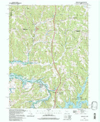
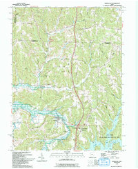
1994 Map of Kimbolton
USGS Topo · Published 1998About this map
The hills of Guernsey Co and Tuscarawas Co meet in this topographic study, where the landscape is defined by the winding waters of Wills Creek and the expansive Salt Fork Lake. Small rural communities like Kimbolton and North Salem are surrounded by numerous country cemeteries including Earleys Cem and Township Cem, providing significant touchpoints for genealogical research. The map captures the region's industrial and environmental legacy, from a Strip Mine north of Birds Run to the protected grounds of the Salt Fork State Park and Wildlife Area. Transportation history is preserved through labels for the Old Railroad Grade, while local social life is marked by several rural congregations such as Flat Ridge Ch and the Community Ch.
Find a feature on this map
45 named features on this map. Tap any name to fly to it.
Don’t see what you’re looking for? This feature index may not catch every label — zoom into the map to look around manually.
Map Details
Editions of this 1994 Kimbolton Map
2 editions found
Other maps of this area

1909 · Antrim
USGS Topo · 1:48,000

1909 · Uhrichsville
USGS Topo · 1:62,500

1909 · Cambridge
USGS Topo · 1:62,500

1911 · Antrim
USGS Topo · 1:62,500

1911 · Uhrichsville
USGS Topo · 1:62,500

1911 · Newcomerstown
USGS Topo · 1:62,500

1912 · Cambridge
USGS Topo · 1:62,500

1913 · Newcomerstown
USGS Topo · 1:62,500

1943 · Newcomerstown
USGS Topo · 1:62,500

1951 · Canton
USGS Topo · 1:250,000