
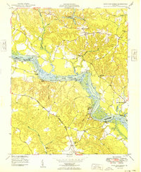
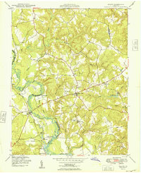
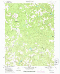
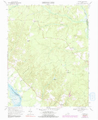
1949 Map of King And Queen
USGS Topo · Published 1949This historical map portrays the area of King And Queen in 1949, primarily covering King and Queen County as well as portions of King William County. Featuring a scale of 1:24000, this map provides a highly detailed snapshot of the terrain, roads, buildings, counties, and historical landmarks in the King And Queen region at the time. Published in 1949, it is one of 2 known editions of this map due to revisions or reprints.
Find a feature on this map
44 named features on this map. Tap any name to fly to it.
Don’t see what you’re looking for? This feature index may not catch every label — zoom into the map to look around manually.
Map Details
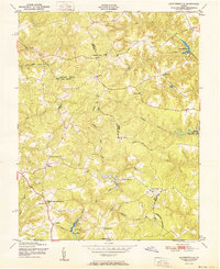
Editions of this 1949 King And Queen Map
2 editions found
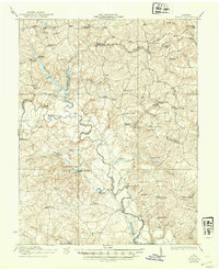
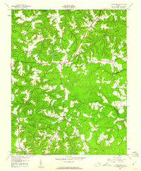
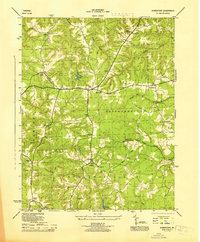
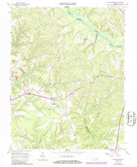
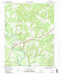
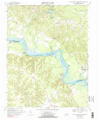
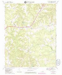
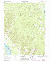
Historical Maps of Stevensville Through Time
16 maps found

1918 Aylett
King and Queen County, VA
1933 Aylett
King and Queen County, VA
1944 Howertons
King and Queen County, VA
1945 Howertons
King and Queen County, VA
1949 Aylett
King and Queen County, VA
1949 King And Queen
King and Queen County, VA

1949 Shacklefords
King and Queen County, VA

1949 Truhart
King and Queen County, VA
1951 Cauthornville
King and Queen County, VA
1965 Shacklefords
King and Queen County, VA
1968 Aylett
King and Queen County, VA
1968 Cauthornville
King and Queen County, VA
1968 King And Queen Court House
King and Queen County, VA
1968 Millers Tavern
King and Queen County, VA
1968 Truhart
King and Queen County, VA
1970 Truhart
King and Queen County, VA