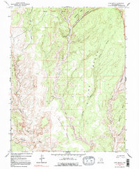
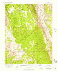
1964 Map of King Bench
USGS Topo · Published 1991About this map
Cliff Dwelling remains are documented along the winding path of The Gulch, highlighting the deep ancestral history of this Garfield County landscape. Surveyed in the late 1950s and field-checked in 1964, the map reveals a wilderness shaped by massive plateau-like formations such as King Bench, Brigham Tea Bench, and Steep Creek Bench. These elevated flats are cut by a complex drainage system where Deer Creek and Boulder Creek converge near the Escalante River in the southwestern corner.
Find a feature on this map
24 named features on this map. Tap any name to fly to it.
Don’t see what you’re looking for? This feature index may not catch every label — zoom into the map to look around manually.
Map Details
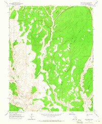
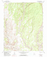
Editions of this 1964 King Bench Map
3 editions found
Other maps of this area

1886 · Escalante
USGS Topo · 1:250,000

1953 · Circle Cliffs 2 NE
USGS Topo · 1:24,000

1953 · Circle Cliffs 4 NW
USGS Topo · 1:24,000

1953 · Circle Cliffs 1 SW
USGS Topo · 1:24,000
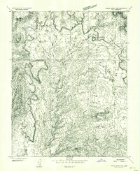
1953 · Circle Cliffs 1 NW
USGS Topo · 1:24,000

1953 · Moody Creek
USGS Topo · 1:62,500
1953 · Wagon Box Mesa
USGS Topo · 1:62,500

1956 · Escalante
USGS Topo · 1:250,000

1960 · Escalante
USGS Topo · 1:250,000

1964 · Tenmile Flat
USGS Topo · 1:24,000