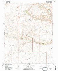
1968 Map of King Mesa
USGS Topo · Published 1995About this map
Escalante River canyons and the sprawling plateaus of the Glen Canyon National Recreation Area define this landscape in southern Utah. The map reveals a complex network of drainage systems and geological formations, most notably along Coyote Gulch, which contains several significant natural features. These include the Jacob Hamblin Arch, Coyote Natural Bridge, and Cliff Arch.
Find a feature on this map
23 named features on this map. Tap any name to fly to it.
Don’t see what you’re looking for? This feature index may not catch every label — zoom into the map to look around manually.
Map Details
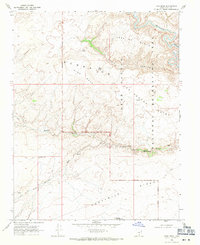
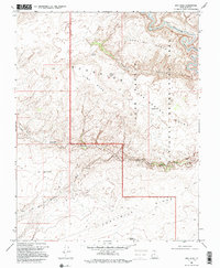
Editions of this 1968 King Mesa Map
3 editions found
Other maps of this area

1886 · Escalante
USGS Topo · 1:250,000

1886 · Henry Mountains
USGS Topo · 1:250,000

1892 · Henry Mountains
USGS Topo · 1:250,000

1953 · Mt Pennell 3 SW
USGS Topo · 1:24,000

1953 · Circle Cliffs 4 SW
USGS Topo · 1:24,000

1953 · The Rincon
USGS Topo · 1:62,500

1953 · Hall Mesa
USGS Topo · 1:62,500

1953 · Moody Creek
USGS Topo · 1:62,500

1956 · Escalante
USGS Topo · 1:250,000

1960 · Escalante
USGS Topo · 1:250,000