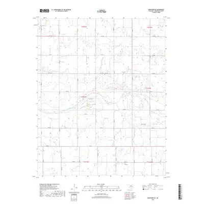
2018 Map of Kingfisher NE
USGS Topo · Published 2018About this map
The Cimarron River meanders across the center of this Kingfisher County landscape, defining the local topography and drainage patterns. To the south, the river is fed by the winding Trail Cr and Bird Cr, while the northern portion of the quadrangle is marked by a systematic grid of section roads. The rural character of the area is underscored by the presence of several community burial grounds, including Oak Grove Cem in the northwest and Banner Cem and Lincoln Cem further east.
Find a feature on this map
31 named features on this map. Tap any name to fly to it.
Don’t see what you’re looking for? This feature index may not catch every label — zoom into the map to look around manually.
Map Details
Editions of this 2018 Kingfisher NE Map
This is the sole edition of this map. No revisions or reprints were ever made.
Other maps of this area

1892 · Kingfisher
USGS Topo · 1:125,000

1893 · Lovell
USGS Topo · 1:62,500

1893 · Hennessey
USGS Topo · 1:62,500

1895 · Kingfisher
USGS Topo · 1:125,000

1954 · Oklahoma City
USGS Topo · 1:250,000

1955 · Enid
USGS Topo · 1:250,000

1956 · Hennessey
USGS Topo · 1:62,500

1957 · Oklahoma City
USGS Topo · 1:250,000

1958 · Enid
USGS Topo · 1:250,000

1963 · Oklahoma City
USGS Topo · 1:250,000