Loading...
Loading map...1894 Map of Kingman
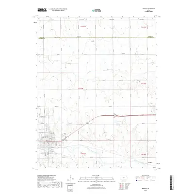
USGS Topo · Published 1906About this map
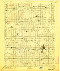
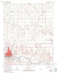
The North Fork Ninnescah River and South Fork Ninnescah River dominate this late-nineteenth-century landscape, providing a natural framework for the burgeoning railroad network of central Kansas. This 1889 survey captures a critical moment of expansion as four major rail lines converge toward the county seat of Kingman. The Atchison Topeka and Santa Fe Railroad skirts the northern edge, while the Missouri Pacific Railroad and Wichita and Western Railroad carve paths through the central and southern townships.
Find a feature on this map
61 named features on this map. Tap any name to fly to it.
Don’t see what you’re looking for? This feature index may not catch every label — zoom into the map to look around manually.
Map Details
Date Portrayed1894
Date Published1906
PublisherU.S. Geological Survey
Map TypeTopographic
Scale1:125,000
Physical Dimensions16.54 x 19.51 inches
Editions of this 1894 Kingman Map
4 editions found
Historical Maps of Kingman Through Time
8 maps found

Featured Locations
Source Details
SourceU.S. Geological Survey
CopyrightPublic Domain