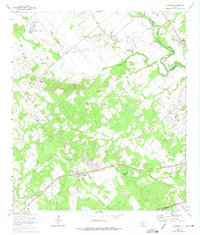
1964 Map of Kingsbury
USGS Topo · Published 1975About this map
Kingsbury sits at the heart of this mid-century landscape, positioned along the Southern Pacific railroad line. The map captures the rural character of the Caldwell Co and Guadalupe Co boundary, where the San Marcos River winds through the northeast corner past Prairie Lea. The terrain transitions from the elevations of the Mill Creek Hills in the west to the alluvial plains drained by York Creek and Nash Creek.
Find a feature on this map
23 named features on this map. Tap any name to fly to it.
Don’t see what you’re looking for? This feature index may not catch every label — zoom into the map to look around manually.
Map Details
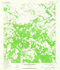
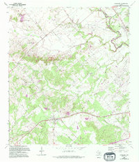
Editions of this 1964 Kingsbury Map
Other maps of this area

1911 · San Marcos
USGS Topo · 1:125,000

1919 · San Marcos
USGS Topo · 1:125,000

1924 · San Marcos 3-c
USGS Topo · 1:48,000

1924 · San Marcos 3-d
USGS Topo · 1:48,000

1925 · San Marcos 4-c
USGS Topo · 1:48,000

1929 · Luling
USGS Topo · 1:62,500

1930 · Lockhart
USGS Topo · 1:62,500

1930 · Seguin
USGS Topo · 1:62,500

1953 · Seguin
USGS Topo · 1:250,000

1958 · Seguin
USGS Topo · 1:250,000