Loading...
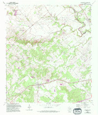
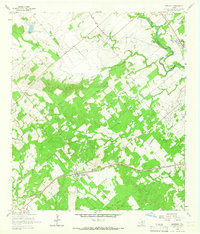
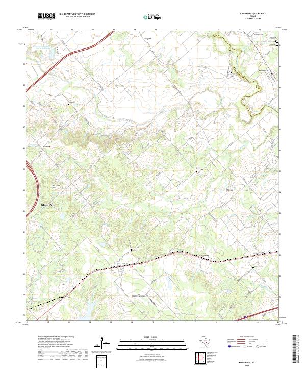
Loading map...1964 Map of Kingsbury
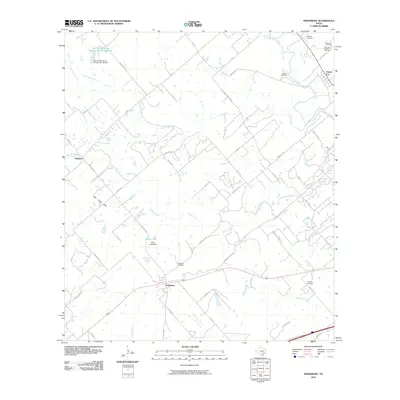
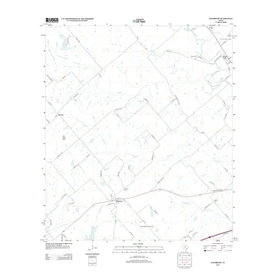
USGS Topo · Published 1994About this map
The San Marcos River winds through the northeastern corner of this landscape, marking the boundary between Caldwell and Guadalupe counties. The terrain is defined by the Luling Hills and Mill Creek Hills, where numerous drainages like Brushy Creek and York Creek carve through the countryside. Settlement is concentrated around the community of Kingsbury to the south and Prairie Lea to the northeast, the latter featuring the Prairie Lea School and an Athletic Field.
Find a feature on this map
31 named features on this map. Tap any name to fly to it.
Don’t see what you’re looking for? This feature index may not catch every label — zoom into the map to look around manually.
Map Details
Date Portrayed1964
Date Published1994
PublisherU.S. Geological Survey
Map TypeTopographic
Scale1:24,000
Physical Dimensions23.2 x 27.2 inches
Editions of this 1964 Kingsbury Map

Historical Maps of Seguin Through Time
6 maps found
Featured Locations
Source Details
SourceU.S. Geological Survey
CopyrightPublic Domain