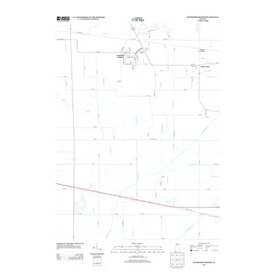
2013 Map of Kingsford Heights
USGS Topo · Published 2013About this map
Kingsford Heights anchors the northern portion of this LaPorte County landscape, characterized by a planned street grid including Meadowbrook Blvd and Nordway Rd. The surrounding area is defined by an extensive network of drainage infrastructure designed to manage the low-lying terrain of the Kankakee River basin. Named channels like Maurey Ditch, Salisbury Ditch, and Hickleson Ditch illustrate the complex water management system that transformed these wetlands into productive land.
Find a feature on this map
62 named features on this map. Tap any name to fly to it.
Don’t see what you’re looking for? This feature index may not catch every label — zoom into the map to look around manually.
Map Details
Editions of this 2013 Kingsford Heights Map
This is the sole edition of this map. No revisions or reprints were ever made.
Other maps of this area

1953 · Chicago
USGS Topo · 1:250,000

1957 · Chicago
USGS Topo · 1:250,000

1957 · Knox East
USGS Topo · 1:24,000

1957 · Knox West
USGS Topo · 1:24,000

1958 · Hanna
USGS Topo · 1:24,000

1958 · Kingsford Heights
USGS Topo · 1:24,000

1958 · Hamlet
USGS Topo · 1:24,000

1958 · Stillwell
USGS Topo · 1:24,000

1958 · La Porte East
USGS Topo · 1:24,000

1959 · English Lake
USGS Topo · 1:24,000