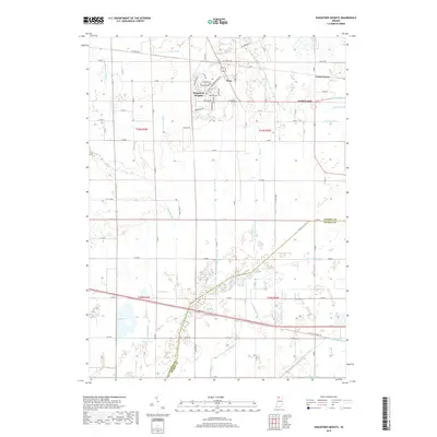
2019 Map of Kingsford Heights
USGS Topo · Published 2019About this map
Kingsford Heights serves as the primary population center in this northern Indiana landscape, defined by a meticulously planned residential grid featuring streets like Meadowbrook Blvd and Evanston Rd. The surrounding countryside illustrates a highly engineered agricultural environment where numerous man-made waterways, such as Porter Ditch and Maurey Ditch, drain the low-lying terrain to support farming. Small rural clusters like Tracy, Union Center, and South Center dot the landscape northeast of the main town, marking traditional crossroads. To the south, the natural meander of the Kankakee River creates a distinct boundary between LaPorte and Starke counties. This area is characterized by the transition from the structured streetscapes of the heights to the complex drainage networks of the Kankakee basin, including named features like the Cusher Arm and Shearin Ditch that feed into the larger river system.
Find a feature on this map
68 named features on this map. Tap any name to fly to it.
Don’t see what you’re looking for? This feature index may not catch every label — zoom into the map to look around manually.
Map Details
Editions of this 2019 Kingsford Heights Map
This is the sole edition of this map. No revisions or reprints were ever made.
Other maps of this area

1953 · Chicago
USGS Topo · 1:250,000

1957 · Chicago
USGS Topo · 1:250,000

1957 · Knox East
USGS Topo · 1:24,000

1957 · Knox West
USGS Topo · 1:24,000

1958 · Hanna
USGS Topo · 1:24,000

1958 · Kingsford Heights
USGS Topo · 1:24,000

1958 · Hamlet
USGS Topo · 1:24,000

1958 · Stillwell
USGS Topo · 1:24,000

1958 · La Porte East
USGS Topo · 1:24,000

1959 · English Lake
USGS Topo · 1:24,000