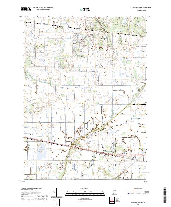
2022 Map of Kingsford Heights
USGS Topo · Published 2022About this map
Kingsford Heights anchors this agricultural region in the early 2020s, defined by a meticulously planned residential layout that contrasts with the surrounding LaPorte County farmsteads. The settlement of Tracy sits just to the north, while Union Center and South Center mark the rural landscape to the east. The terrain is deeply influenced by water management, with a complex network of man-made waterways like Salisbury Ditch, Whitham Ditch, and Maurey Ditch draining the flatlands toward the Kankakee River. These engineering features, alongside named arms such as Cusher Arm and Winchell Arm, illustrate the long-term transformation of this wetland environment into productive Indiana farmland. Natural drainage still persists in the form of Mill Cr, while the county line between LaPorte Co and Starke Co follows the historical path of the river, showing how natural boundaries continue to dictate administrative ones.
Find a feature on this map
67 named features on this map. Tap any name to fly to it.
Don’t see what you’re looking for? This feature index may not catch every label — zoom into the map to look around manually.
Map Details
Editions of this 2022 Kingsford Heights Map
This is the sole edition of this map. No revisions or reprints were ever made.
Other maps of this area

1953 · Chicago
USGS Topo · 1:250,000

1957 · Chicago
USGS Topo · 1:250,000

1957 · Knox East
USGS Topo · 1:24,000

1957 · Knox West
USGS Topo · 1:24,000

1958 · Hanna
USGS Topo · 1:24,000

1958 · Kingsford Heights
USGS Topo · 1:24,000

1958 · Hamlet
USGS Topo · 1:24,000

1958 · Stillwell
USGS Topo · 1:24,000

1958 · La Porte East
USGS Topo · 1:24,000

1959 · English Lake
USGS Topo · 1:24,000