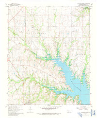
1967 Map of Kingston North
USGS Topo · Published 1991About this map
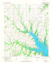
Lake Texoma dominates the eastern portion of this landscape, its waters reaching into the intricate inlets of Little Glasses Bay and Little Glasses Creek. The 1960s terrain shows a transition from the developing shorelines of Lake Texoma State Park to the managed wetlands of the Tishomingo National Wildlife Refuge in the north. The area's industrial and transportation history is evident in the presence of an extensive Oil Field and the St Louis - San Francisco railroad line. Settlement patterns are anchored by Kingston, while the interior features an Old Railroad Grade and local landmarks like Grantham Ch and a rural Cem. The Roosevelt Memorial Bridge serves as a critical connection across the reservoir's fingers, illustrating the mid-century infrastructure required to navigate this modified river valley.
Find a feature on this map
22 named features on this map. Tap any name to fly to it.
Don’t see what you’re looking for? This feature index may not catch every label — zoom into the map to look around manually.
Map Details
Editions of this 1967 Kingston North Map
2 editions found
Other maps of this area

1901 · Tishomingo
USGS Topo · 1:125,000

1901 · Denison
USGS Topo · 1:125,000

1954 · Sherman
USGS Topo · 1:250,000

1957 · Ardmore
USGS Topo · 1:250,000

1958 · Gordonville
USGS Topo · 1:62,500

1958 · Denison Dam
USGS Topo · 1:62,500

1958 · Sherman
USGS Topo · 1:250,000

1963 · Ardmore
USGS Topo · 1:250,000

1963 · Madill
USGS Topo · 1:24,000

1963 · Ravia
USGS Topo · 1:24,000