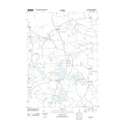
2012 Map of Kingston
USGS Topo · Published 2012About this map
Kingston and the surrounding Rockingham County townships appear here during a period of modern development that remains deeply connected to its colonial-era roots. The landscape is defined by the winding course of the Exeter River and the Powwow River, with numerous historically significant burial sites scattered throughout, including Ye Old Cem and Soldiers Cem. The presence of the Pow-Wow Seaplane Base on Great Pond and the Winterwood Airport near Marshall Corner highlights the regional aviation infrastructure. Local recreation is well-represented by seasonal grounds like Camp Lincoln and the Country Shore Camping Area on the banks of Country Pond. This map details the intersection of early New England settlement patterns, such as Pages Corner and Rowes Corner, with the established road networks of the early twenty-first century.
Find a feature on this map
200 named features on this map. Tap any name to fly to it.
Don’t see what you’re looking for? This feature index may not catch every label — zoom into the map to look around manually.
Map Details
Editions of this 2012 Kingston Map
This is the sole edition of this map. No revisions or reprints were ever made.
Other maps of this area

1888 · Newburyport
USGS Topo · 1:62,500

1888 · Haverhill
USGS Topo · 1:62,500

1890 · Haverhill
USGS Topo · 1:62,500

1890 · Newburyport
USGS Topo · 1:62,500

1893 · Dover
USGS Topo · 1:62,500

1893 · Haverhill
USGS Topo · 1:62,500

1894 · Newburyport
USGS Topo · 1:62,500

1916 · Dover
USGS Topo · 1:62,500

1917 · Mt. Pawtuckaway
USGS Topo · 1:62,500

1918 · Dover
USGS Topo · 1:62,500