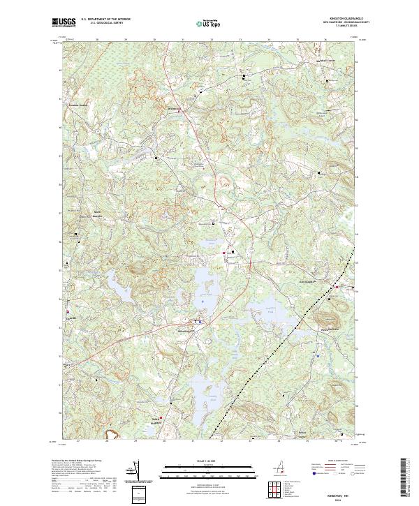
2024 Map of Kingston
USGS Topo · Published 2024About this map
Rockingham County Courthouse stands near the center of this landscape, anchoring the community of Brentwood where the Exeter River winds through the northern reaches. The area is defined by a dense network of burial grounds that trace the genealogy of the region, from early sites like Ye Old Cem and the Old Meeting House Cem to the Soldiers Cem near Colby Brook. Settlements are dispersed into distinct corners, such as Marshall Corner and Rowes Corner, reflecting a traditional New England town structure.
Find a feature on this map
72 named features on this map. Tap any name to fly to it.
Don’t see what you’re looking for? This feature index may not catch every label — zoom into the map to look around manually.
Map Details
Editions of this 2024 Kingston Map
This is the sole edition of this map. No revisions or reprints were ever made.
Other maps of this area

1888 · Newburyport
USGS Topo · 1:62,500

1888 · Haverhill
USGS Topo · 1:62,500

1890 · Haverhill
USGS Topo · 1:62,500

1890 · Newburyport
USGS Topo · 1:62,500

1893 · Dover
USGS Topo · 1:62,500

1893 · Haverhill
USGS Topo · 1:62,500

1894 · Newburyport
USGS Topo · 1:62,500

1916 · Dover
USGS Topo · 1:62,500

1917 · Mt. Pawtuckaway
USGS Topo · 1:62,500

1918 · Dover
USGS Topo · 1:62,500