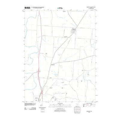
2010 Map of Kingston
USGS Topo · Published 2010About this map
Kingston and its surrounding rural landscapes in Ross County appear here at the beginning of the twenty-first century, defined by a network of historic roads and family-named landmarks. The village center is anchored by the Kingston Post Office, while the outlying countryside is dotted with small settlements like Kinnikinnick and Delano. Significant genealogical interest is found in the numerous burial grounds scattered across the terrain, including Mount Pleasant Presbyterian Cemetery, Crouse Chapel Cemetery, and Bethel Cemetery.
Find a feature on this map
54 named features on this map. Tap any name to fly to it.
Don’t see what you’re looking for? This feature index may not catch every label — zoom into the map to look around manually.
Map Details
Editions of this 2010 Kingston Map
This is the sole edition of this map. No revisions or reprints were ever made.
Other maps of this area

1906 · Chillicothe
USGS Topo · 1:62,500

1908 · Chillicothe
USGS Topo · 1:62,500

1911 · Era
USGS Topo · 1:62,500

1912 · Roxabell
USGS Topo · 1:62,500

1913 · Era
USGS Topo · 1:62,500

1914 · Roxabell
USGS Topo · 1:62,500

1914 · Circleville
USGS Topo · 1:62,500

1943 · Era
USGS Topo · 1:62,500

1943 · Circleville
USGS Topo · 1:62,500

1944 · Roxabell
USGS Topo · 1:62,500