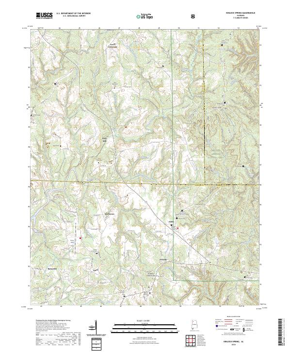
2024 Map of Kinlock Spring
USGS Topo · Published 2024About this map
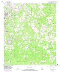
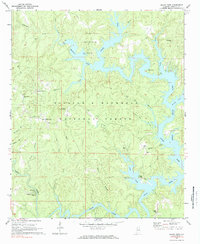
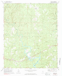
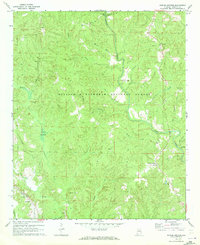
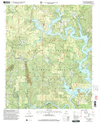
Posey Mill and Carroll Crossroads anchor this landscape where the deep drainages of the William B. Bankhead National Forest meet the agricultural plateaus of northern Winston County. The terrain is defined by the Tennessee Valley Divide, which separates the headwaters of numerous creeks including Bear Creek and Turkey Creek. The eastern portion of the map covers the Sipsey Wilderness, featuring the protected waters of the Sipsey Fork of the West Fork Wild and Scenic River. Genealogists will find a high density of rural burial grounds, such as the Maxwell Chapel United Methodist Church Cem and Ephesus Baptist Church Cem near Pebble. The map also traces the historical footprint of small communities like Martintown and Forkville, alongside family landmarks like Posey Field and Kinlock Knob.
Find a feature on this map
152 named features on this map. Tap any name to fly to it.
Don’t see what you’re looking for? This feature index may not catch every label — zoom into the map to look around manually.
Map Details
Editions of this 2024 Kinlock Spring Map
This is the sole edition of this map. No revisions or reprints were ever made.
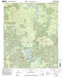
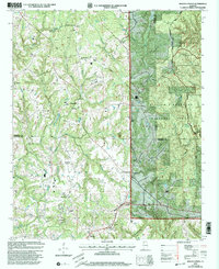
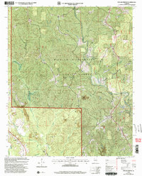
Historical Maps of Posey Mill Through Time
17 maps found

1936 Delmar
Winston County, AL
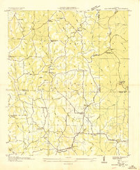
1936 Kinlock Spring
Winston County, AL
1947 Kinlock Spring
Winston County, AL
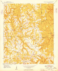
1949 Kinlock Spring
Winston County, AL
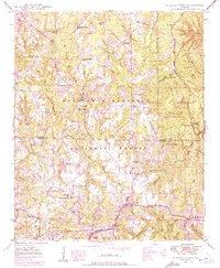
1958 Haleyville East
Winston County, AL
1969 Black Pond
Winston County, AL
1969 Houston
Winston County, AL
1969 Poplar Springs
Winston County, AL
2000 Black Pond
Winston County, AL
2000 Houston
Winston County, AL
2000 Kinlock Spring
Winston County, AL
2000 Poplar Springs
Winston County, AL
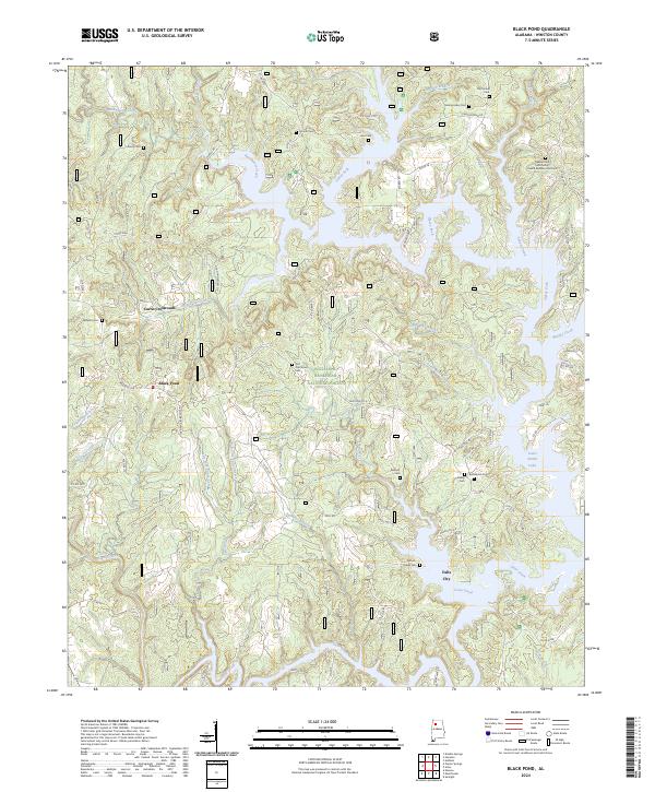
2024 Black Pond
Winston County, AL
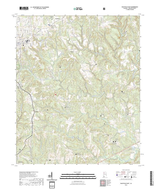
2024 Haleyville East
Winston County, AL
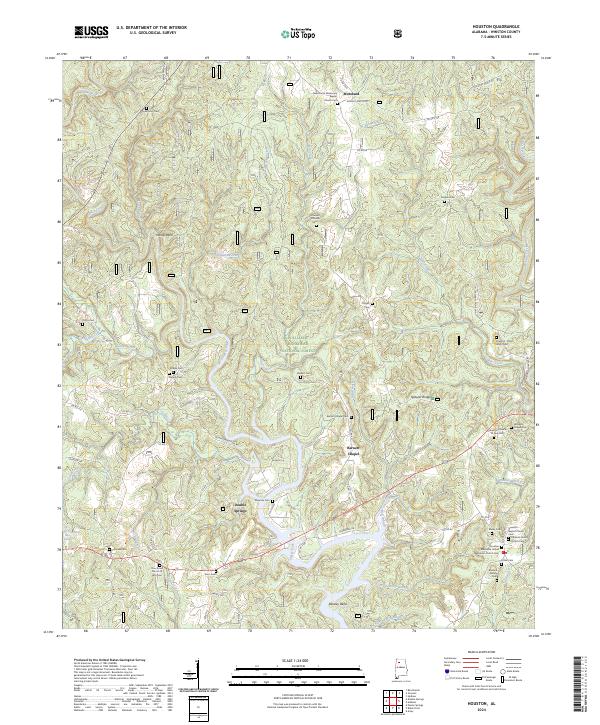
2024 Houston
Winston County, AL
2024 Kinlock Spring
Winston County, AL
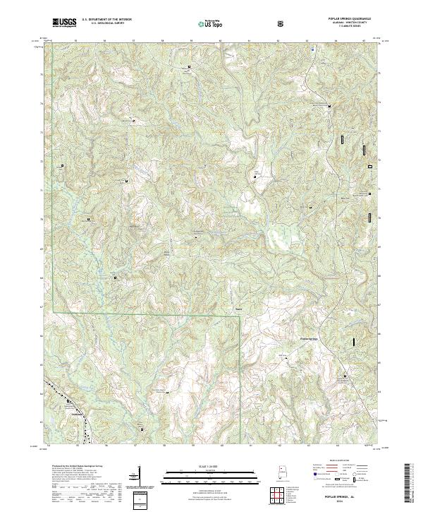
2024 Poplar Springs
Winston County, AL