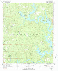
1969 Map of Black Pond
USGS Topo · Published 1984About this map
William B Bankhead National Forest covers much of this landscape in Winston County, where the rising waters of Lewis Smith Lake have transformed the deep valleys of the Sipsey Fork and Clear Creek. The map documents a rural transition as former upland ridges became peninsulas and recreation hubs like the Corinth Recreation Area emerged. Local history is anchored at small settlements such as Black Pond and Curtis Crossroads, while the Black Pond Lookout Tower stands as a sentinel over the wooded terrain.
Find a feature on this map
45 named features on this map. Tap any name to fly to it.
Don’t see what you’re looking for? This feature index may not catch every label — zoom into the map to look around manually.
Map Details
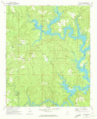
Editions of this 1969 Black Pond Map
2 editions found
Other maps of this area

1893 · Jasper
USGS Topo · 1:125,000

1949 · Manchester
USGS Topo · 1:24,000

1949 · Nauvoo
USGS Topo · 1:24,000

1949 · Sunlight
USGS Topo · 1:24,000

1950 · Nauvoo
USGS Topo · 1:24,000

1950 · Manchester
USGS Topo · 1:24,000
1951 · Sunlight
USGS Topo · 1:24,000

1953 · Birmingham
USGS Topo · 1:250,000

1956 · Birmingham
USGS Topo · 1:250,000

1956 · Gadsden
USGS Topo · 1:250,000