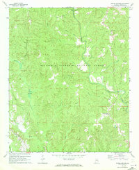
1969 Map of Poplar Springs
USGS Topo · Published 1973About this map
William B Bankhead National Forest covers much of this North Alabama landscape as it appeared in the late 1960s, defined by the winding course of Clear Creek and its many tributaries. The area is characterized by scattered rural communities and remote country churches, including Old Union Ch and Pineycky Ch, which served the residents of small settlements like Poplar Springs and Ashbank. The Southern railroad line cuts through the southwestern corner near Hopewell Ch, providing a vital link for the local timber and agricultural economy. Geologic interests are noted by an Oil Well near the forest interior, while landmarks like Kaiser Bottom and Spain Ford reflect a geography shaped by family names and river crossings. This survey captures a moment of quiet persistence in Winston County before significant modern development, preserving the locations of numerous family burial grounds such as Blue Springs Cem.
Find a feature on this map
36 named features on this map. Tap any name to fly to it.
Don’t see what you’re looking for? This feature index may not catch every label — zoom into the map to look around manually.
Map Details
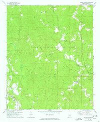
Editions of this 1969 Poplar Springs Map
2 editions found
Other maps of this area

1893 · Jasper
USGS Topo · 1:125,000

1936 · Delmar
USGS Topo · 1:24,000

1949 · Manchester
USGS Topo · 1:24,000

1949 · Nauvoo
USGS Topo · 1:24,000

1950 · Nauvoo
USGS Topo · 1:24,000

1950 · Manchester
USGS Topo · 1:24,000

1953 · Birmingham
USGS Topo · 1:250,000

1956 · Birmingham
USGS Topo · 1:250,000

1956 · Gadsden
USGS Topo · 1:250,000

1957 · Birmingham
USGS Topo · 1:250,000