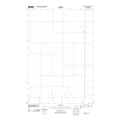
2011 Map of Kintyre NE
USGS Topo · Published 2011About this map
Liberty Cemetery serves as a lonely landmark within this sparsely populated stretch of Logan County. The landscape is defined by the rigid North Dakota section line grid, where gravel and dirt roads like 47th St SE and 30th Ave SE stretch across the prairie to facilitate large-scale agriculture. Small, scattered wetlands and depressions are caught within the squares of the road network, which includes arteries such as 52nd St SE and 26th Ave SE. This survey reflects the enduring rural character of the Great Plains, where long distances and a grid-based transportation system connect isolated family farmsteads and rural burial grounds.
Find a feature on this map
12 named features on this map. Tap any name to fly to it.
Don’t see what you’re looking for? This feature index may not catch every label — zoom into the map to look around manually.
Map Details
Editions of this 2011 Kintyre NE Map
This is the sole edition of this map. No revisions or reprints were ever made.
Other maps of this area

1952 · Tappen South
USGS Topo · 1:24,000

1952 · Dawson
USGS Topo · 1:24,000

1952 · Steele
USGS Topo · 1:24,000

1953 · Jamestown
USGS Topo · 1:250,000

1956 · Jamestown
USGS Topo · 1:250,000

1975 · Kintyre
USGS Topo · 1:24,000

1979 · Kintyre NE
USGS Topo · 1:24,000

1980 · McKenna Lake North
USGS Topo · 1:24,000

1983 · Alkaline Lake SW
USGS Topo · 1:24,000

1983 · Alkaline Lake NW
USGS Topo · 1:24,000