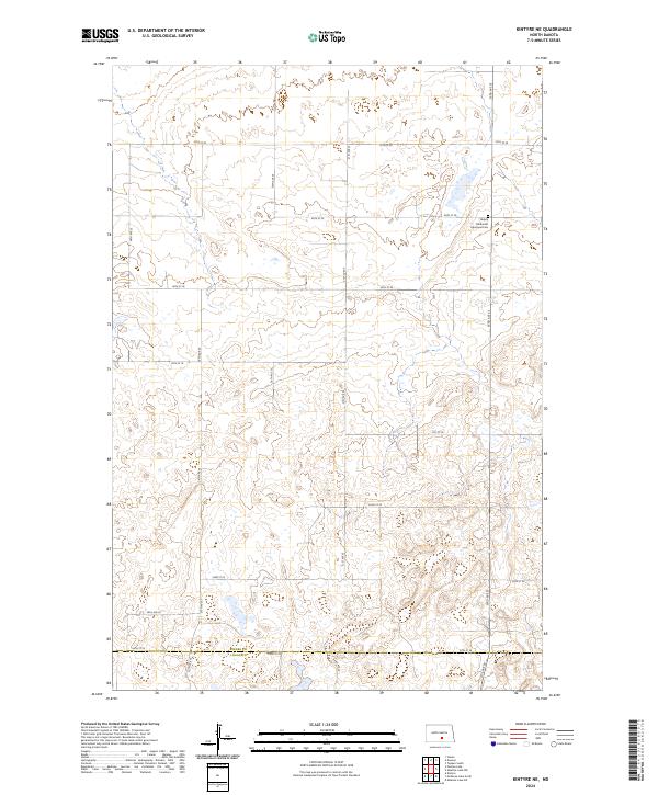
2024 Map of Kintyre NE
USGS Topo · Published 2024About this map
The rolling prairie of Kidder and Logan Counties is defined by a grid of rural section roads and an abundance of small glacial potholes and wetlands. This 2024 landscape remains largely undeveloped, characterized by its agricultural layout and the survival of early pioneer markers. A primary point of historical interest is the Liberty Methodist Episcopal Cem, situated along 33rd Ave SE. This cemetery serves as a physical record of the early Methodist community that settled this portion of the northern plains. The map details the precise intersection of township lines, including t138n r72w and t137n r73w, providing a clear view of the Public Land Survey System that organized these prairie townships.
Find a feature on this map
22 named features on this map. Tap any name to fly to it.
Don’t see what you’re looking for? This feature index may not catch every label — zoom into the map to look around manually.
Map Details
Editions of this 2024 Kintyre NE Map
This is the sole edition of this map. No revisions or reprints were ever made.
Other maps of this area

1952 · Tappen South
USGS Topo · 1:24,000

1952 · Dawson
USGS Topo · 1:24,000

1952 · Steele
USGS Topo · 1:24,000

1953 · Jamestown
USGS Topo · 1:250,000

1956 · Jamestown
USGS Topo · 1:250,000

1975 · Kintyre
USGS Topo · 1:24,000

1979 · Kintyre NE
USGS Topo · 1:24,000

1980 · McKenna Lake North
USGS Topo · 1:24,000

1983 · Alkaline Lake SW
USGS Topo · 1:24,000

1983 · Alkaline Lake NW
USGS Topo · 1:24,000