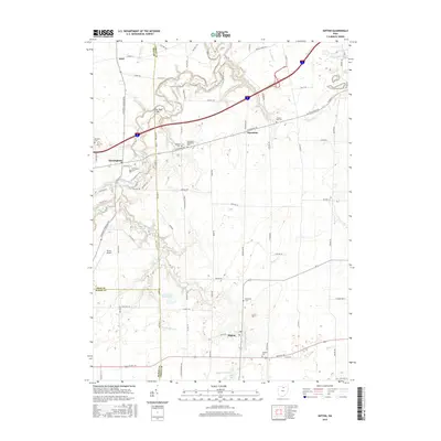
2016 Map of Kipton
USGS Topo · Published 2016About this map
The Vermilion River and its numerous tributaries, including the E Fork Vermilion River, define the landscape of this Lorain County area. Established settlements such as Kipton, Birmingham, and Henrietta are scattered across a patchwork of agricultural lands and wooded corridors. This 2016 survey documents a region where local heritage is preserved in numerous family and community burial grounds, such as the Andress Cem, Sanders Hill Cem, and the Henrietta Methodist Cem.
Find a feature on this map
74 named features on this map. Tap any name to fly to it.
Don’t see what you’re looking for? This feature index may not catch every label — zoom into the map to look around manually.
Map Details
Editions of this 2016 Kipton Map
This is the sole edition of this map. No revisions or reprints were ever made.
Other maps of this area

1901 · Oberlin
USGS Topo · 1:62,500

1903 · Vermilion
USGS Topo · 1:62,500

1903 · Oberlin
USGS Topo · 1:62,500

1904 · Wellington
USGS Topo · 1:62,500

1906 · Wellington
USGS Topo · 1:62,500

1908 · New London
USGS Topo · 1:62,500

1956 · Toledo
USGS Topo · 1:250,000

1959 · Berlin Heights
USGS Topo · 1:24,000

1959 · Vermilion East
USGS Topo · 1:24,000

1959 · Vermilion West
USGS Topo · 1:24,000