2022 Map of Kirkland North
USGS Topo · Published 2022About this map
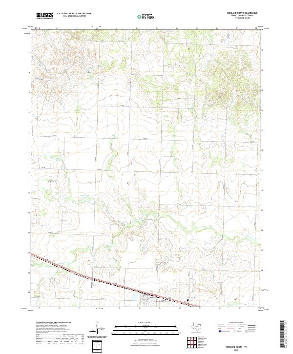
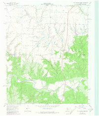
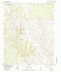
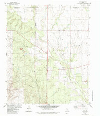
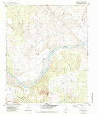
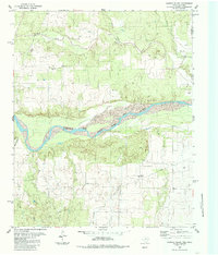
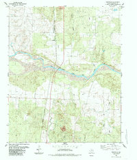
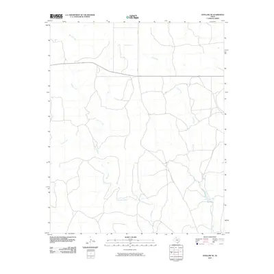
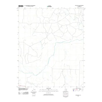
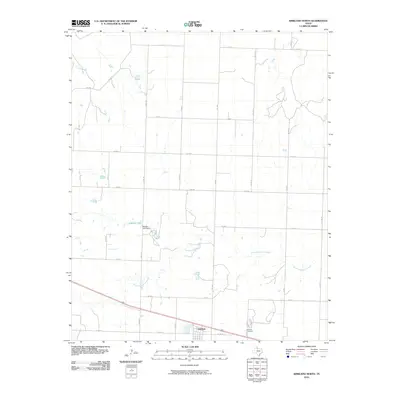
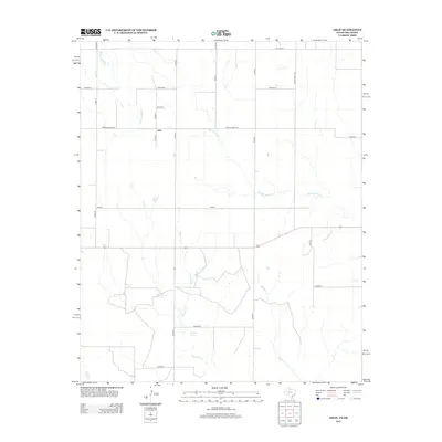
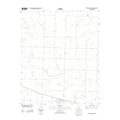
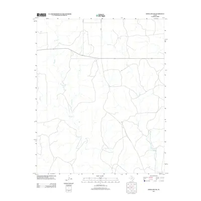
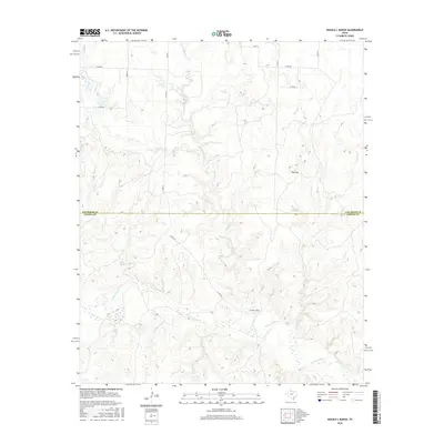
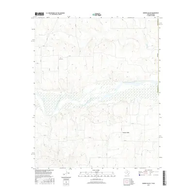
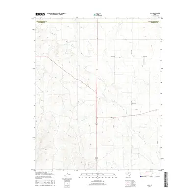
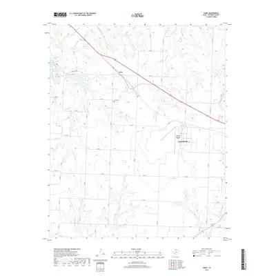
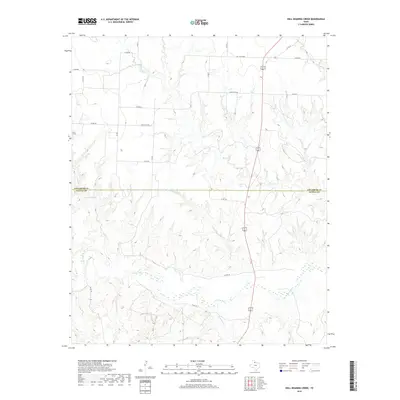
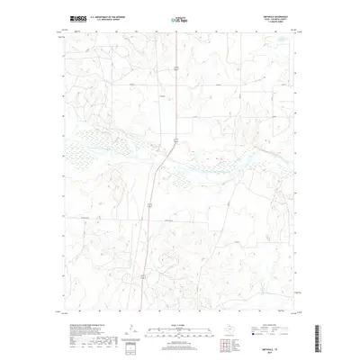
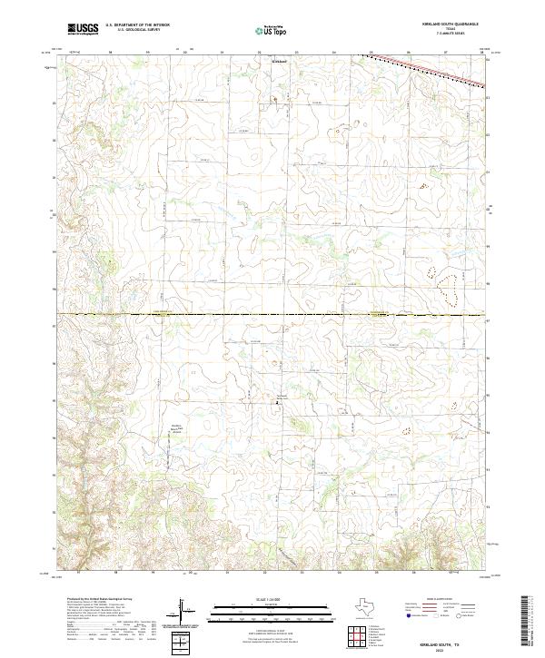
Kirkland stands as a focal point in this portion of Childress County, situated along a transportation corridor that includes a network of county roads and farm-to-market routes. The terrain is defined by the winding course of N Groesbeck Cr, which carves through the landscape, and the presence of Nippert Lake further north. This recent survey illustrates the modern layout of rural infrastructure, where long-established landmarks like the Kirkland Cem provide a point of reference for genealogists and local historians. The map captures a high-plains landscape where the grid of county roads, such as Co RD S and Co RD V, meets the more irregular topography created by natural drainage patterns, reflecting the intersection of human land management and the environment in the Texas Panhandle.
Find a feature on this map
24 named features on this map. Tap any name to fly to it.
Don’t see what you’re looking for? This feature index may not catch every label — zoom into the map to look around manually.
Map Details
Editions of this 2022 Kirkland North Map
This is the sole edition of this map. No revisions or reprints were ever made.
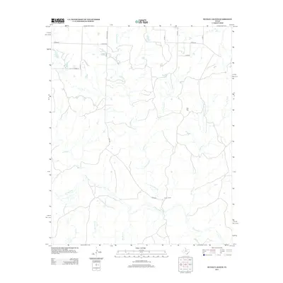
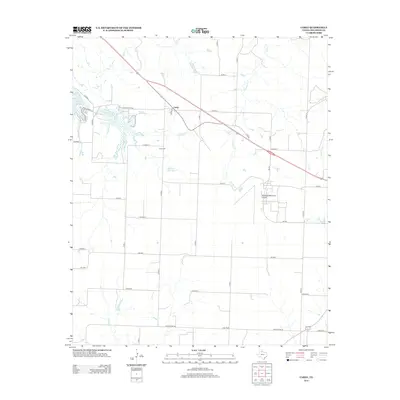
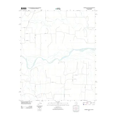
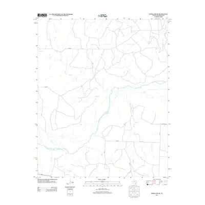
Historical Maps of Kirkland Through Time
67 maps found
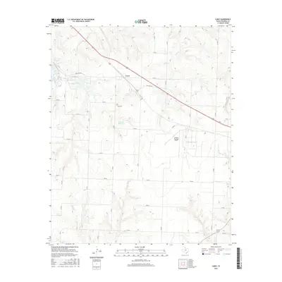
1960 Loco
Childress County, TX
1967 Buckle L Ranch
Childress County, TX
1967 Carey
Childress County, TX
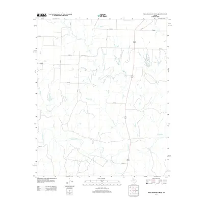
1967 Hell Roaring Creek
Childress County, TX
1967 Kirkland North
Childress County, TX
1967 Kirkland South
Childress County, TX
1984 Arlie
Childress County, TX
1984 Estelline NE
Childress County, TX
1984 Loco
Childress County, TX
1985 Estelline SE
Childress County, TX
1985 Garden Valley
Childress County, TX
1985 Smithdale
Childress County, TX
2010 Arlie
Childress County, TX
2010 Buckle L Ranch
Childress County, TX
2010 Carey
Childress County, TX
2010 Estelline NE
Childress County, TX
2010 Estelline SE
Childress County, TX
2010 Garden Valley
Childress County, TX
2010 Hell Roaring Creek
Childress County, TX
2010 Kirkland North
Childress County, TX
2010 Kirkland South
Childress County, TX
2010 Loco
Childress County, TX
2010 Smithdale
Childress County, TX
2012 Arlie
Childress County, TX
2012 Buckle L Ranch
Childress County, TX
2012 Carey
Childress County, TX
2012 Garden Valley
Childress County, TX
2012 Kirkland North
Childress County, TX
2012 Kirkland South
Childress County, TX
2012 Loco
Childress County, TX
2012 Smithdale
Childress County, TX
2013 Estelline NE
Childress County, TX
2013 Estelline SE
Childress County, TX
2013 Hell Roaring Creek
Childress County, TX
2016 Arlie
Childress County, TX
2016 Buckle L Ranch
Childress County, TX
2016 Carey
Childress County, TX
2016 Estelline NE
Childress County, TX
2016 Estelline SE
Childress County, TX
2016 Garden Valley
Childress County, TX
2016 Hell Roaring Creek
Childress County, TX
2016 Kirkland North
Childress County, TX
2016 Kirkland South
Childress County, TX
2016 Loco
Childress County, TX
2016 Smithdale
Childress County, TX
2019 Arlie
Childress County, TX
2019 Buckle L Ranch
Childress County, TX
2019 Carey
Childress County, TX
2019 Estelline NE
Childress County, TX
2019 Estelline SE
Childress County, TX
2019 Garden Valley
Childress County, TX
2019 Hell Roaring Creek
Childress County, TX
2019 Kirkland North
Childress County, TX
2019 Kirkland South
Childress County, TX
2019 Loco
Childress County, TX
2019 Smithdale
Childress County, TX
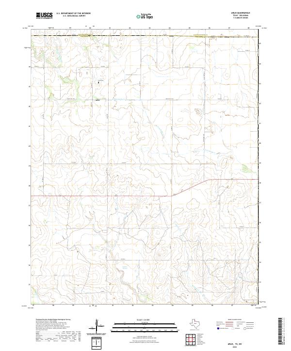
2022 Arlie
Childress County, TX
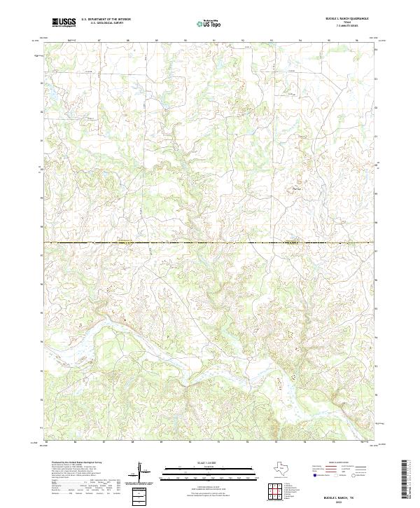
2022 Buckle L Ranch
Childress County, TX
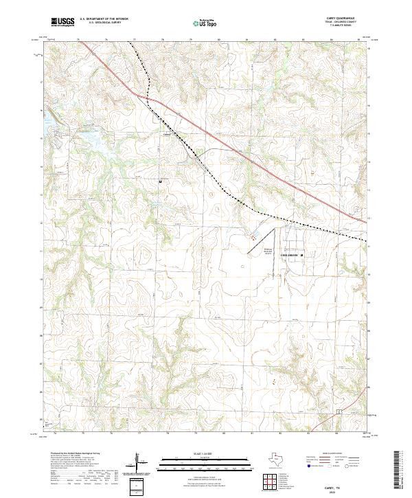
2022 Carey
Childress County, TX
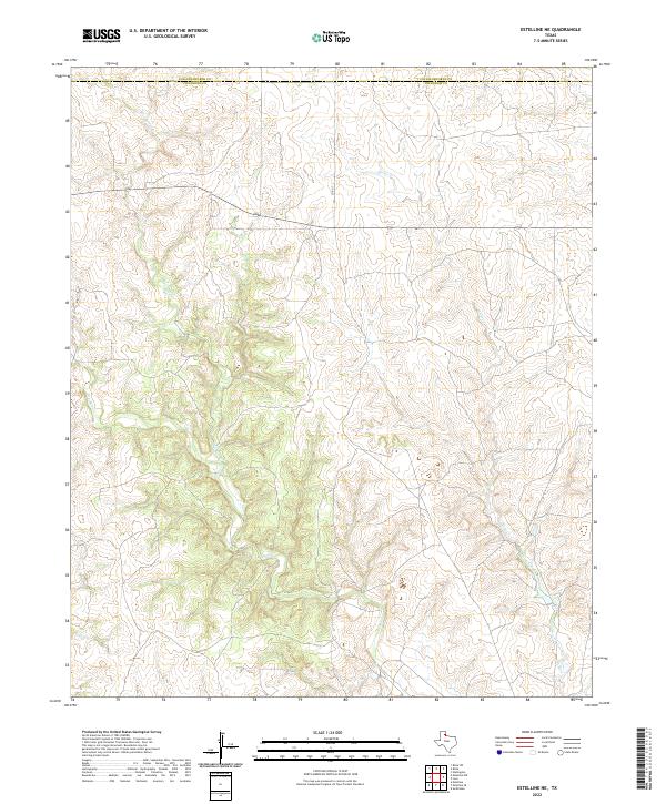
2022 Estelline NE
Childress County, TX
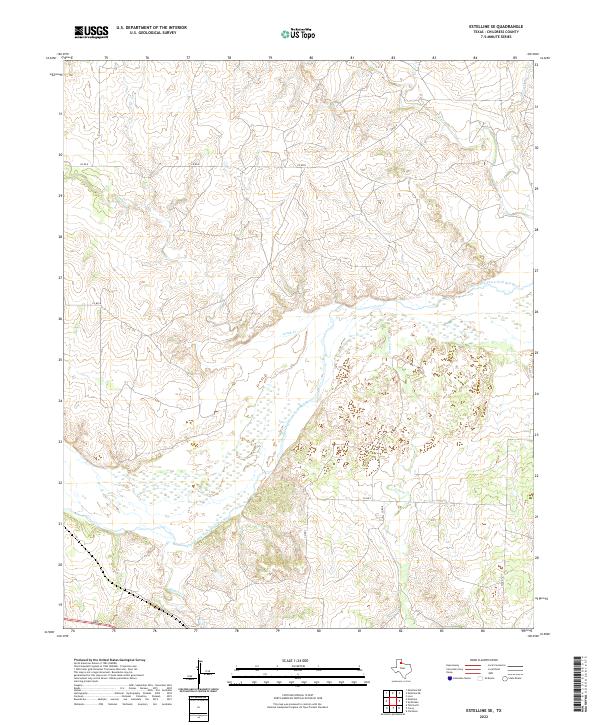
2022 Estelline SE
Childress County, TX
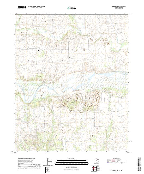
2022 Garden Valley
Childress County, TX
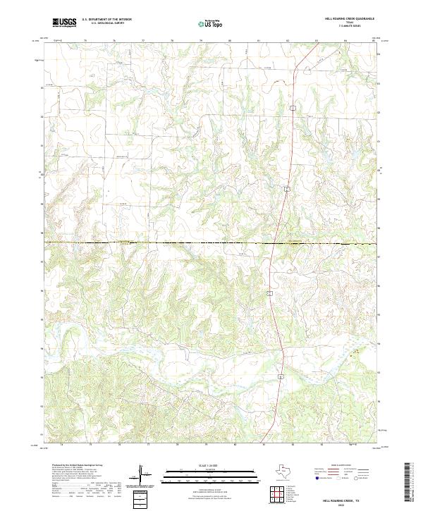
2022 Hell Roaring Creek
Childress County, TX
2022 Kirkland North
Childress County, TX
2022 Kirkland South
Childress County, TX
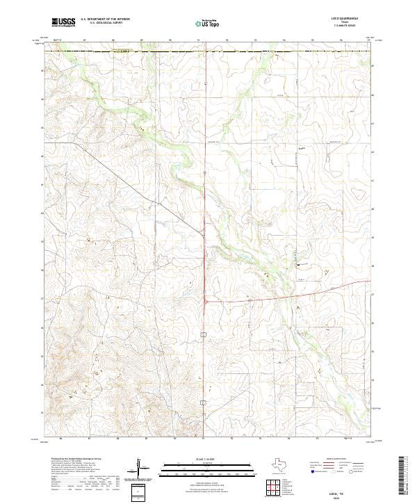
2022 Loco
Childress County, TX
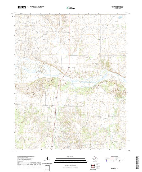
2022 Smithdale
Childress County, TX