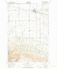
1953 Map of Kittitas
USGS Topo · Published 1975About this map
The agricultural landscape of the Kittitas Valley is defined here by a sophisticated network of irrigation, featuring the Town Canal, Cascade Canal, and Wipple Wasteway. These water systems supported the small community of Kittitas and the nearby rail stops at Regal and Edgemont. The Chicago Milwaukee St Paul and Pacific railroad cuts through the northern section, providing a vital link for the valley's produce. To the south, the terrain shifts dramatically at the rising slopes of Manastash Ridge, where the elevation climbs toward Vanderbilt Gap. This mid-century survey documents the transition from the flat, irrigated farmlands around Denmark Hall and Denmark Sch to the winding course of the Yakima River in the southwestern corner, reflecting a rural economy deeply tied to both water engineering and rail transport.
Find a feature on this map
24 named features on this map. Tap any name to fly to it.
Don’t see what you’re looking for? This feature index may not catch every label — zoom into the map to look around manually.
Map Details
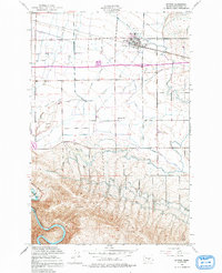
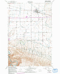
Editions of this 1953 Kittitas Map
4 editions found

Other maps of this area

1897 · Mount Stuart
USGS Topo · 1:125,000

1899 · Ellensburg
USGS Topo · 1:125,000

1901 · Ellensburg
USGS Topo · 1:125,000

1902 · Mount Stuart
USGS Topo · 1:125,000

1920 · Colockum Pass
USGS Topo · 1:125,000

1922 · Colockum Pass
USGS Topo · 1:125,000

1938 · Badger Pocket
USGS Topo · 1:48,000

1943 · Badger Pocket
USGS Topo · 1:62,500

1950 · Yakima
USGS Topo · 1:250,000
1953 · Badger Gap
USGS Topo · 1:24,000