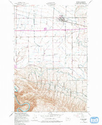
1953 Map of Kittitas
USGS Topo · Published 1991About this map
Kittitas Valley is defined by an intricate network of irrigation and transportation during the early 1950s. The town of Kittitas serves as the central hub, supported by the Chicago Milwaukee St Paul and Pacific railroad and surrounded by productive agricultural lands fed by the Town Canal and Cascade Canal. The landscape transitions from the developed flats near Cameron Airfield to the dramatic elevation changes south of Edgemont, where the Yakima River winds through the hills. This survey records a snapshot of a rural community at mid-century, preserving the locations of local landmarks such as Denmark Hall and Denmark Sch, alongside family-named features like Sorensen Spring and the Vanderbilt Gap pass, which suggest the lineage and movement of local residents in this high-desert basin.
Find a feature on this map
25 named features on this map. Tap any name to fly to it.
Don’t see what you’re looking for? This feature index may not catch every label — zoom into the map to look around manually.
Map Details
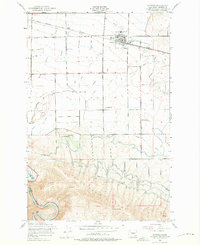
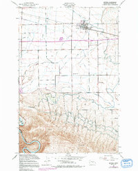
Editions of this 1953 Kittitas Map
4 editions found

Other maps of this area

1897 · Mount Stuart
USGS Topo · 1:125,000

1899 · Ellensburg
USGS Topo · 1:125,000

1901 · Ellensburg
USGS Topo · 1:125,000

1902 · Mount Stuart
USGS Topo · 1:125,000

1920 · Colockum Pass
USGS Topo · 1:125,000

1922 · Colockum Pass
USGS Topo · 1:125,000

1938 · Badger Pocket
USGS Topo · 1:48,000

1943 · Badger Pocket
USGS Topo · 1:62,500

1950 · Yakima
USGS Topo · 1:250,000
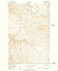
1953 · Badger Gap
USGS Topo · 1:24,000