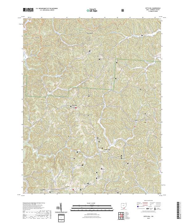
2023 Map of Kitts Hill
USGS Topo · Published 2023About this map
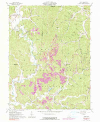
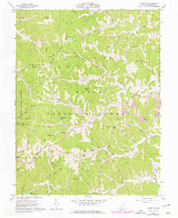
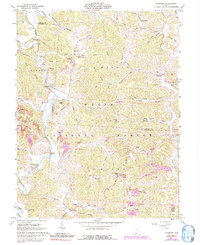
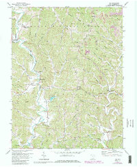
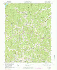
Wayne National Forest dominates the upper reaches of this Lawrence County landscape, where the terrain is deeply dissected by a dense network of hollows and creeks. Small rural settlements like Kitts Hill and Andis serve as local hubs, connected by winding ridge roads and valley tracks such as Town Hwy 201 S. The map reveals a high concentration of family and community burial grounds, including the Maynard Family Cem and Hackworth Cem, which are often located on elevated points or near church sites like the Community Missionary Baptist Church Cem.
Find a feature on this map
78 named features on this map. Tap any name to fly to it.
Don’t see what you’re looking for? This feature index may not catch every label — zoom into the map to look around manually.
Map Details
Editions of this 2023 Kitts Hill Map
This is the sole edition of this map. No revisions or reprints were ever made.
Historical Maps of Kitts Hill Through Time
20 maps found
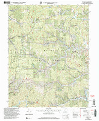
1961 Aid
Lawrence County, OH
1961 Gallia
Lawrence County, OH
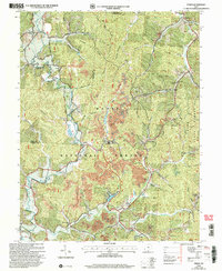
1961 Kitts Hill
Lawrence County, OH
1961 Pedro
Lawrence County, OH
1961 Sherritts
Lawrence County, OH
1961 Waterloo
Lawrence County, OH
1972 Aid
Lawrence County, OH
1972 Kitts Hill
Lawrence County, OH
2002 Aid
Lawrence County, OH
2002 Gallia
Lawrence County, OH
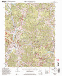
2002 Kitts Hill
Lawrence County, OH
2002 Pedro
Lawrence County, OH
2002 Sherritts
Lawrence County, OH
2002 Waterloo
Lawrence County, OH
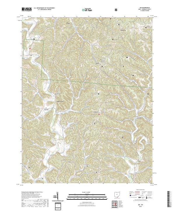
2023 Aid
Lawrence County, OH
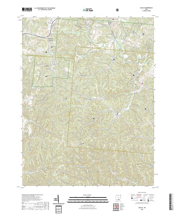
2023 Gallia
Lawrence County, OH
2023 Kitts Hill
Lawrence County, OH
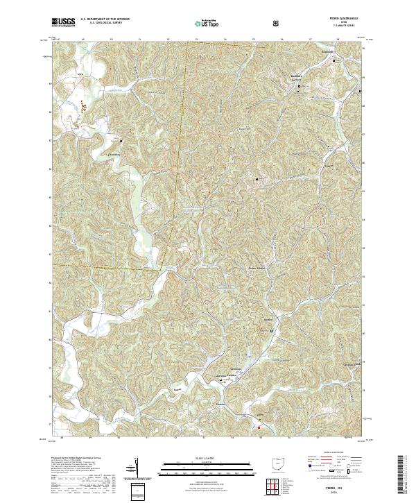
2023 Pedro
Lawrence County, OH
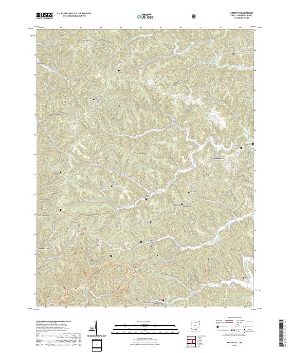
2023 Sherritts
Lawrence County, OH
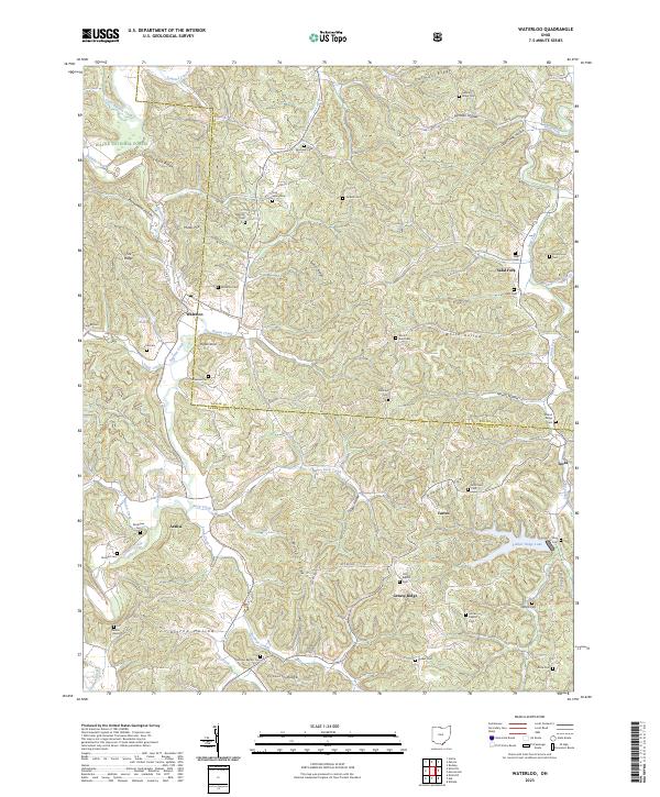
2023 Waterloo
Lawrence County, OH
Featured Locations
- Upper Township, OH
- Andis, Lawrence Township
- Bald Knob, Lawrence Township
- Kitts Hill, Lawrence Township
- Deering, Perry Township