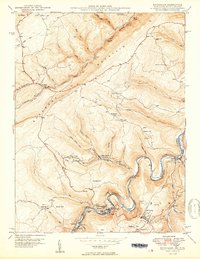
1950 Map of Kitzmiller
USGS Topo · Published 1950About this map
The Potomac River carves a sharp, winding boundary between Maryland and West Virginia, defining the industrial and social life of this coal-country corridor. Along the North Branch, a dense string of company towns and rail stops including Kitzmiller, Blaine, and Shallmar follow the narrow valley floor, served by the Western Maryland railroad. Higher elevations on Backbone Mountain show a different pace of life, where isolated landmarks like Walnut Bottom Ch and Mt Zion Sch supported upland farming families.
Find a feature on this map
62 named features on this map. Tap any name to fly to it.
Don’t see what you’re looking for? This feature index may not catch every label — zoom into the map to look around manually.
Map Details
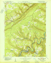
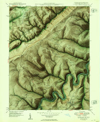
Editions of this 1950 Kitzmiller Map
3 editions found
Other maps of this area

1895 · Piedmont
USGS Topo · 1:125,000

1899 · Grantsville
USGS Topo · 1:62,500

1899 · Oakland
USGS Topo · 1:62,500

1900 · Accident
USGS Topo · 1:62,500

1900 · Oakland
USGS Topo · 1:62,500

1904 · Grantsville
USGS Topo · 1:62,500

1919 · Elk Garden
USGS Topo · 1:48,000

1920 · Elk Garden
USGS Topo · 1:48,000

1922 · Elk Garden
USGS Topo · 1:62,500
1947 · Barton
USGS Topo · 1:24,000