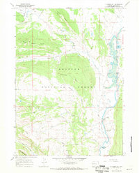
1967 Map of Klondike Hill
USGS Topo · Published 1971About this map
Moore Ranch sits near the base of Tepee Creek Ridge, marking a rare point of private habitation within the high-elevation terrain of the Bridger National Forest. The landscape is dominated by the sprawling headwaters and oxbows of the Green River, which meanders past Dollar Lake and several smaller ponds. To the west, the topography rises sharply toward Klondike Hill and the prominent Bacon Ridge. Transport through this backcountry is defined by a network of Pack Trails and Jeep Trails, supported by the remote Kinky Creek Divide Airstrip and a secondary Landing Strip near the river. Signs of industry and geological exploration are present in the form of a Mine near Tosi Creek and a Drill Hole on the valley floor. Notable geothermal and mineral features include Warm Spring and the curiously named Stinky Spring (Sulphur).
Find a feature on this map
31 named features on this map. Tap any name to fly to it.
Don’t see what you’re looking for? This feature index may not catch every label — zoom into the map to look around manually.
Map Details
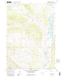
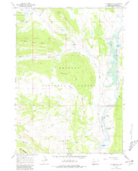
Editions of this 1967 Klondike Hill Map
3 editions found
Other maps of this area

1907 · Gros Ventre
USGS Topo · 1:125,000

1909 · Fremont Peak
USGS Topo · 1:125,000

1910 · Gros Ventre
USGS Topo · 1:125,000

1955 · Driggs
USGS Topo · 1:250,000

1955 · Thermopolis
USGS Topo · 1:250,000

1958 · Driggs
USGS Topo · 1:250,000

1958 · Thermopolis
USGS Topo · 1:250,000

1962 · Thermopolis
USGS Topo · 1:250,000

1962 · Driggs
USGS Topo · 1:250,000
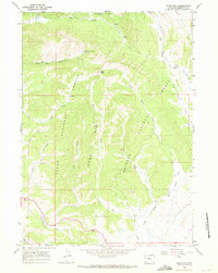
1966 · Pass Peak
USGS Topo · 1:24,000