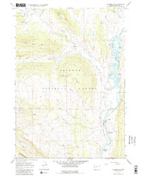
1967 Map of Klondike Hill
USGS Topo · Published 1981About this map
The Green River carves a distinctive path through this high-country landscape in the late 1960s, bordered by the Bridger National Forest and Teton National Forest. This survey captures the remote character of Sublette County, where transport is defined by a network of Jeep Trails, a Pack Trail, and the Kinky Creek Divide Airstrip at the northern edge. Grounded in the practical needs of the era, the map identifies specific landmarks like the Moore Ranch and a solitary Mine near Tosi Creek, alongside unusual geothermal features such as Warm Spring Falls and Stinky Spring (Sulphur). The terrain is dominated by significant elevations including Klondike Hill and Bacon Ridge, providing a detailed view of the watershed before more modern recreational infrastructure arrived, though the Whiskey Grove Campground already marked a point of public access near Whiskey Creek.
Find a feature on this map
31 named features on this map. Tap any name to fly to it.
Don’t see what you’re looking for? This feature index may not catch every label — zoom into the map to look around manually.
Map Details
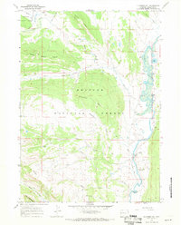
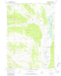
Editions of this 1967 Klondike Hill Map
3 editions found
Other maps of this area

1907 · Gros Ventre
USGS Topo · 1:125,000

1909 · Fremont Peak
USGS Topo · 1:125,000

1910 · Gros Ventre
USGS Topo · 1:125,000

1955 · Driggs
USGS Topo · 1:250,000

1955 · Thermopolis
USGS Topo · 1:250,000

1958 · Driggs
USGS Topo · 1:250,000

1958 · Thermopolis
USGS Topo · 1:250,000

1962 · Thermopolis
USGS Topo · 1:250,000

1962 · Driggs
USGS Topo · 1:250,000
1966 · Pass Peak
USGS Topo · 1:24,000