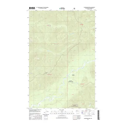
2017 Map of Kloochman Rock
USGS Topo · Published 2017About this map
Kloochman Rock stands as a prominent landmark within this 2017 survey of the Olympic Peninsula, marking a point where the terrain drops toward the river valleys. The landscape is defined by the protected borders of Olympic National Park and Olympic National Forest, showcasing a complex network of drainage systems. Major waterways including the Queets River, Clearwater River, and Solleks River carve through the high elevations of the Olympic Mountains, illustrating the hydrological importance of this region. In the southeastern corner, Lake Dilly provides a distinct focal point amidst the various creek systems like Tshletshy Cr and Stequaleho Cr. This map documents the precise surveying of public land boundaries and sections in a largely unpopulated, mountainous wilderness managed for conservation and forest resources.
Find a feature on this map
25 named features on this map. Tap any name to fly to it.
Don’t see what you’re looking for? This feature index may not catch every label — zoom into the map to look around manually.
Map Details
Editions of this 2017 Kloochman Rock Map
This is the sole edition of this map. No revisions or reprints were ever made.
Other maps of this area

1939 · Mount Tom
USGS Topo · 1:62,500

1943 · Spruce Mountain
USGS Topo · 1:62,500

1943 · Copalis Beach
USGS Topo · 1:250,000

1951 · Copalis Beach
USGS Topo · 1:250,000

1956 · Kloochman Rock
USGS Topo · 1:62,500

1956 · Mount Tom
USGS Topo · 1:62,500

1956 · Spruce Mtn.
USGS Topo · 1:62,500

1956 · Salmon River
USGS Topo · 1:62,500
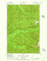
1957 · Mount Tom
USGS Topo · 1:62,500

1957 · Copalis Beach
USGS Topo · 1:250,000