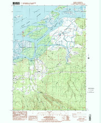
1986 Map of Knappa
USGS Topo · Published 1986About this map
Lewis and Clark National Wildlife Refuge dominates the northern reaches of this map, where the Columbia River breaks into a complex network of marshes, islands, and sloughs. This mid-1980s landscape shows the transition from the low-lying agricultural dikes of Brownsmead to the timbered slopes of Clatsop State Forest. The lower river environment is defined by its waterways, including the winding Blind Slough and the expansive Karlson Island, which sits across from the settlement of Knappa.
Find a feature on this map
52 named features on this map. Tap any name to fly to it.
Don’t see what you’re looking for? This feature index may not catch every label — zoom into the map to look around manually.
Map Details
Editions of this 1986 Knappa Map
2 editions found
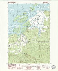
Other maps of this area

1940 · Svensen
USGS Topo · 1:62,500

1940 · Brookfield
USGS Topo · 1:62,500

1941 · Skamokawa
USGS Topo · 1:62,500

1941 · Cathlamet
USGS Topo · 1:62,500

1949 · Cathlamet Bay
USGS Topo · 1:24,000

1949 · Green Mountain
USGS Topo · 1:24,000

1949 · Rosburg
USGS Topo · 1:24,000

1953 · Hoquiam
USGS Topo · 1:250,000

1953 · Skamokawa
USGS Topo · 1:62,500

1953 · Cathlamet
USGS Topo · 1:62,500