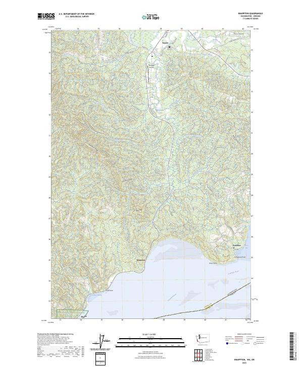
2023 Map of Knappton
USGS Topo · Published 2023About this map
The Columbia River shoreline dominates this coastal Pacific County landscape, where small riverside settlements like Knappton and Frankfort sit at the water's edge. To the north, the community of Naselle serves as a hub for the inland valley, which is defined by the winding course of the Naselle River and its numerous tributaries such as Salmon Creek and Dell Creek. The terrain is marked by significant elevations including Bear River Ridge and Naselle Ridge, while the Lewis And Clark National Historic Park protects a section of the coast near Megler. Evidence of local infrastructure and private property is found at Wirkkala Airport and Wirkkala Lake, alongside the Peaceful Hill Cem. This 2023 survey illustrates the continued importance of the river economy and the rugged topographic transition from tidal flats at Grays Bay to the interior heights of Bear Mtn.
Find a feature on this map
63 named features on this map. Tap any name to fly to it.
Don’t see what you’re looking for? This feature index may not catch every label — zoom into the map to look around manually.
Map Details
Editions of this 2023 Knappton Map
This is the sole edition of this map. No revisions or reprints were ever made.
Other maps of this area

1919 · Astoria
USGS Topo · 1:62,500

1938 · Fort Columbia
USGS Topo · 1:62,500

1939 · Astoria
USGS Topo · 1:62,500

1940 · Svensen
USGS Topo · 1:62,500

1940 · Brookfield
USGS Topo · 1:62,500

1943 · Fort Columbia
USGS Topo · 1:62,500

1949 · Astoria
USGS Topo · 1:24,000

1949 · Chinook
USGS Topo · 1:24,000

1949 · Upper Naselle River
USGS Topo · 1:24,000

1949 · Oman Ranch
USGS Topo · 1:24,000