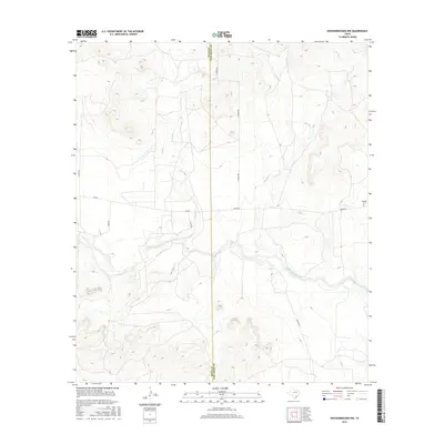
2016 Map of Knickerbocker NW
USGS Topo · Published 2016About this map
The Middle Concho River winds through the southern portion of this landscape, carving a valley between the mesas of western Tom Green County and eastern Irion County. This 2016 survey captures a ranching-focused environment where transportation routes like Arden Rd and Duncan Rd navigate the high divides and creek bottoms. The presence of Midway Cem near the eastern margin suggests a longstanding community center in an otherwise sparsely populated area.
Find a feature on this map
13 named features on this map. Tap any name to fly to it.
Don’t see what you’re looking for? This feature index may not catch every label — zoom into the map to look around manually.
Map Details
Editions of this 2016 Knickerbocker NW Map
This is the sole edition of this map. No revisions or reprints were ever made.
Other maps of this area

1895 · Sherwood
USGS Topo · 1:125,000

1924 · Sherwood 1-d
USGS Topo · 1:48,000

1924 · Sherwood 1-a
USGS Topo · 1:48,000

1928 · Tankersly
USGS Topo · 1:62,500

1954 · San Angelo
USGS Topo · 1:250,000

1957 · Carlsbad
USGS Topo · 1:62,500

1957 · Twin Buttes
USGS Topo · 1:24,000

1957 · Knickerbocker
USGS Topo · 1:62,500

1957 · Mount Nebo
USGS Topo · 1:24,000

1958 · San Angelo
USGS Topo · 1:250,000