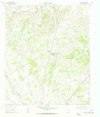
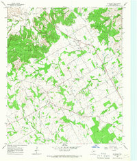
1961 Map of Knob Hill
USGS Topo · Published 1963About this map
Agricultural research and rural community life define this section of Erath County in the early 1960s. The Texas A & M College Experimental Station occupies a significant portion of the lower landscape, highlighting the region's importance to Texas's academic and agricultural development. The terrain is deeply carved by the North Paluxy River and the South Paluxy River, with numerous tributaries like Henshaw Creek and Straight Creek creating a complex network of ridges and draws.
Find a feature on this map
27 named features on this map. Tap any name to fly to it.
Don’t see what you’re looking for? This feature index may not catch every label — zoom into the map to look around manually.
Map Details
Editions of this 1961 Knob Hill Map
3 editions found
Other maps of this area

1890 · Stephenville
USGS Topo · 1:125,000

1920 · Stephenville
USGS Topo · 1:125,000

1954 · Abilene
USGS Topo · 1:250,000

1958 · Abilene
USGS Topo · 1:250,000

1961 · Johnsville
USGS Topo · 1:24,000

1961 · Knob Hill
USGS Topo · 1:24,000

1961 · Stephenville
USGS Topo · 1:24,000
1965 · Bluff Dale NE
USGS Topo · 1:24,000
1965 · Bunyan
USGS Topo · 1:24,000
1965 · Huckabay
USGS Topo · 1:24,000