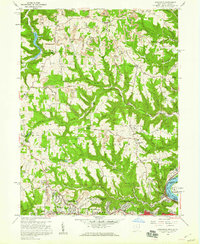
1958 Map of Knoxville
USGS Topo · Published 1960About this map
Knoxville and the surrounding Jefferson County uplands are defined by a complex network of ridges and deep hollows like Dungeon Hollow and Egypt Hollow in the late 1950s. The landscape reflects a mix of traditional rural life and mid-century industrial expansion, with active Strip Mine operations scattered across the terrain alongside longstanding landmarks like Island Creek Ch and Osage Ch.
Find a feature on this map
54 named features on this map. Tap any name to fly to it.
Don’t see what you’re looking for? This feature index may not catch every label — zoom into the map to look around manually.
Map Details
Editions of this 1958 Knoxville Map
2 editions found
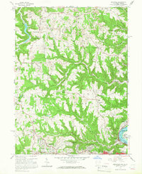
Other maps of this area

1901 · Cadiz
USGS Topo · 1:62,500

1903 · Cadiz
USGS Topo · 1:62,500

1904 · Wellsville
USGS Topo · 1:62,500

1904 · Steubenville
USGS Topo · 1:62,500

1905 · Salineville
USGS Topo · 1:62,500

1935 · Steubenville
USGS Topo · 1:62,500

1937 · Wellsville
USGS Topo · 1:62,500

1942 · Steubenville
USGS Topo · 1:62,500

1944 · Wellsville
USGS Topo · 1:62,500

1951 · Canton
USGS Topo · 1:250,000