
1949 Map of Kodiak B-3
USGS Topo · Published 1965About this map
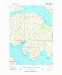
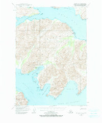
The coastal fishing and aviation infrastructure of Kodiak Island is documented here just after the mid-century. Focused on the indented eastern coastline, the map highlights the Kodiak Fisheries Cannery and an adjacent Seaplane Base tucked into Shearwater Bay. These features reflect the post-war maritime economy when cannery operations and amphibious aircraft were vital links for remote island industries.
Find a feature on this map
23 named features on this map. Tap any name to fly to it.
Don’t see what you’re looking for? This feature index may not catch every label — zoom into the map to look around manually.
Map Details
Editions of this 1949 Kodiak B-3 Map
3 editions found
Other maps of this area

1949 · Kodiak C-2
USGS Topo · 1:63,360

1949 · Kodiak B-1 and B-2
USGS Topo · 1:63,360

1949 · Kodiak A-3
USGS Topo · 1:63,360

1950 · Kodiak A-3
USGS Topo · 1:63,360

1950 · Kodiak B-3
USGS Topo · 1:63,360

1951 · Kodiak B-1 and B-2
USGS Topo · 1:63,360

1952 · Kodiak
USGS Topo · 1:250,000

1952 · Kodiak C-3
USGS Topo · 1:63,360

1952 · Kodiak C-4
USGS Topo · 1:63,360

1952 · Kodiak B-4
USGS Topo · 1:63,360