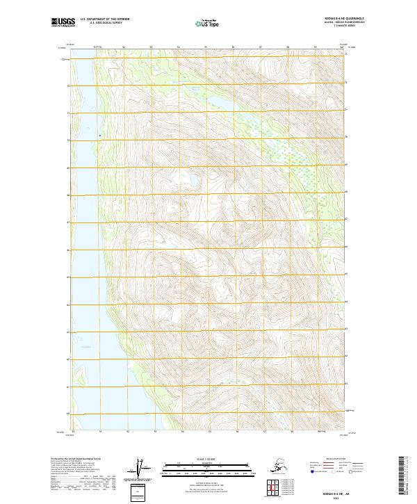
2021 Map of Kodiak B-6 NE
USGS Topo · Published 2021About this map
Amook Bay and Uyak Bay define the maritime character of this coastal landscape on Kodiak Island. This 2021 survey reveals a territory predominantly shaped by steep relief and tidal inlets, where the shoreline is the primary point of reference. Inland from the salt water, Browns Lagoon serves as a distinct landmark tucked into the terrain, reflecting the drainage patterns common to the archipelago's northern reaches. The area is largely devoid of road infrastructure or permanent settlements, structured instead by the invisible lines of the Public Land Survey System, including t31s r28w and t32s r28w. The contour work illustrates the dramatic elevation changes that separate the deep bays from the interior highlands, mapping a region where the natural topography dictates the boundaries of human navigation and resource management.
Find a feature on this map
7 named features on this map. Tap any name to fly to it.
Don’t see what you’re looking for? This feature index may not catch every label — zoom into the map to look around manually.
Map Details
Editions of this 2021 Kodiak B-6 NE Map
This is the sole edition of this map. No revisions or reprints were ever made.
Other maps of this area

1952 · Kodiak
USGS Topo · 1:250,000

1952 · Kodiak B-6
USGS Topo · 1:63,360

1952 · Kodiak C-5
USGS Topo · 1:63,360

1952 · Kodiak B-5
USGS Topo · 1:63,360

1952 · Kodiak C-6
USGS Topo · 1:63,360
1954 · Kodiak C-6
USGS Topo · 1:63,360
1954 · Kodiak B-6
USGS Topo · 1:63,360
1954 · Kodiak B-5
USGS Topo · 1:63,360
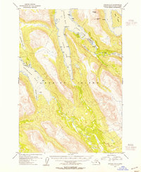
1954 · Kodiak C-5
USGS Topo · 1:63,360
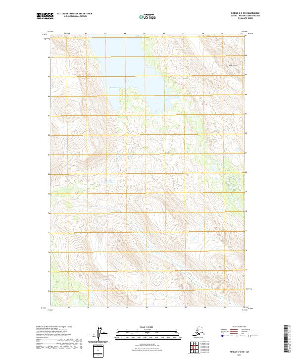
2021 · Kodiak C-5 SW
USGS Topo · 1:25,000