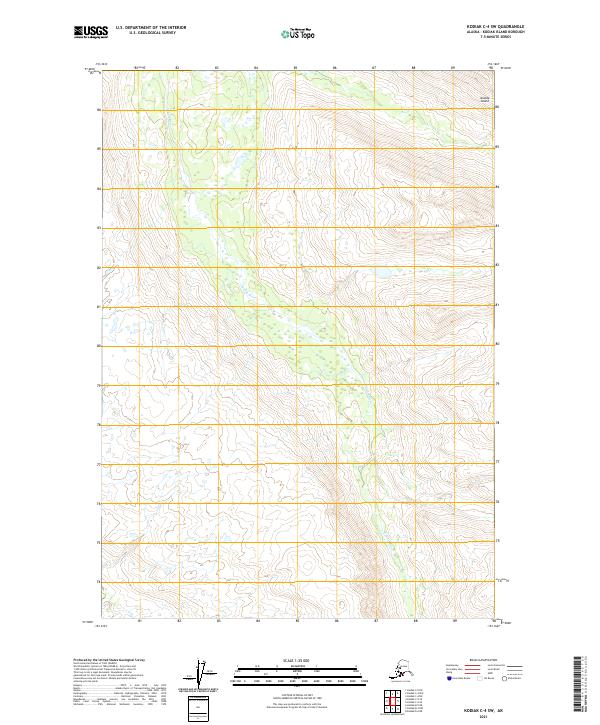
2021 Map of Kodiak C-4 SW
USGS Topo · Published 2021About this map
Uganik River winds through this interior portion of Kodiak Island, creating a complex network of wetlands and braided channels as it flows across the valley floor. This 2021 survey illustrates the dramatic topography of the surrounding slopes, where elevation increases sharply from the riverbanks to ridges exceeding 2,000 feet. The map detail highlights the hydrological patterns of the region, specifically how small tributaries and seasonal drainage channels from high peaks feed into the primary river system. Established township and range lines, such as t30s r25w and t29s r25w, provide the cadastral framework for this wilderness area, marking the legal divisions of the land as defined by the Bureau of Land Management.
Find a feature on this map
8 named features on this map. Tap any name to fly to it.
Don’t see what you’re looking for? This feature index may not catch every label — zoom into the map to look around manually.
Map Details
Editions of this 2021 Kodiak C-4 SW Map
This is the sole edition of this map. No revisions or reprints were ever made.
Other maps of this area

1952 · Kodiak
USGS Topo · 1:250,000

1952 · Kodiak C-4
USGS Topo · 1:63,360

1952 · Kodiak C-5
USGS Topo · 1:63,360

1952 · Kodiak B-5
USGS Topo · 1:63,360

1952 · Kodiak B-4
USGS Topo · 1:63,360
1954 · Kodiak B-4
USGS Topo · 1:63,360
1954 · Kodiak C-4
USGS Topo · 1:63,360
1954 · Kodiak B-5
USGS Topo · 1:63,360
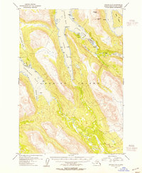
1954 · Kodiak C-5
USGS Topo · 1:63,360
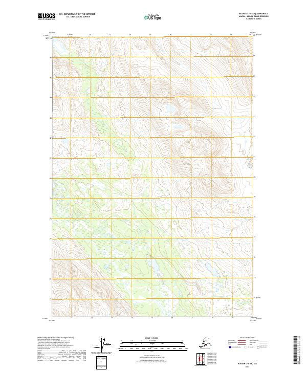
2021 · Kodiak C-5 SE
USGS Topo · 1:25,000