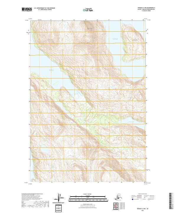
2021 Map of Kodiak C-5 NE
USGS Topo · Published 2021About this map
Northeast Arm Uganik Bay and East Arm Uganik Bay carve deeply into the northern coast of Kodiak Island, framing a landscape defined by sharp elevation changes and glacial-carved drainages. The Uganik River flows through a broad valley in the southern portion of the map, fed by the waters of Uganik Lake. This topographic detail shows the intricate relationship between the coastal inlets and the interior freshwater systems that support the island's unique ecosystem. High peaks such as Helmet Mtn and Dog Ear Mtn tower over the shoreline, while Sally Island sits at the mouth of the Northeast Arm. The survey provides a clear view of the wilderness before any significant modern development, focusing on the natural topography and the coastal geometry of the Uganik area.
Find a feature on this map
11 named features on this map. Tap any name to fly to it.
Don’t see what you’re looking for? This feature index may not catch every label — zoom into the map to look around manually.
Map Details
Editions of this 2021 Kodiak C-5 NE Map
This is the sole edition of this map. No revisions or reprints were ever made.
Other maps of this area

1952 · Kodiak
USGS Topo · 1:250,000

1952 · Kodiak C-4
USGS Topo · 1:63,360

1952 · Kodiak C-5
USGS Topo · 1:63,360

1952 · Kodiak D-5
USGS Topo · 1:63,360

1952 · Kodiak D-4
USGS Topo · 1:63,360
1954 · Kodiak C-4
USGS Topo · 1:63,360
1954 · Kodiak D-5
USGS Topo · 1:63,360
1954 · Kodiak D-4
USGS Topo · 1:63,360
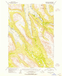
1954 · Kodiak C-5
USGS Topo · 1:63,360
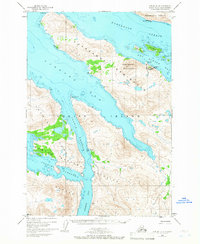
1965 · Kodiak D-4
USGS Topo · 1:63,360