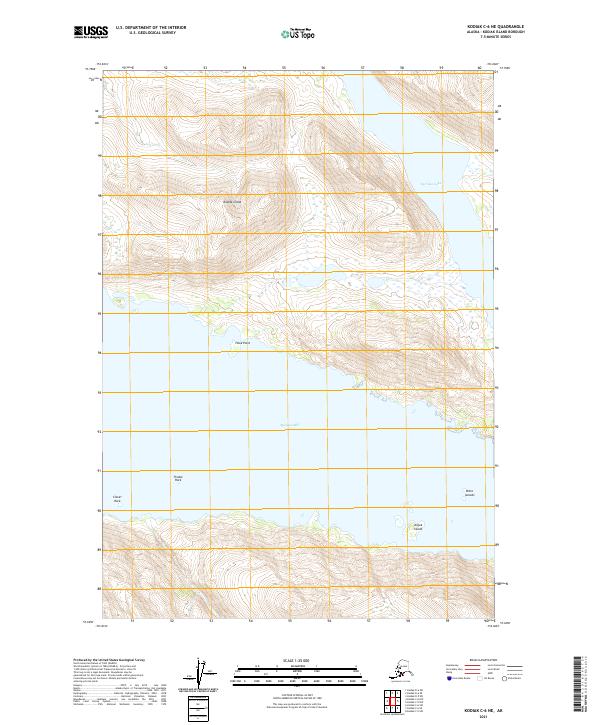
2021 Map of Kodiak C-6 NE
USGS Topo · Published 2021About this map
Spiridon Bay dominates the center of this coastal survey, cutting deep into the western side of Kodiak Island. The landscape is defined by the relationship between the sheltered waters of the bay and the steep elevations rising directly from the shoreline. Along the northern coast, Hook Point juts into the water, while maritime hazards and landmarks like Thistle Rock and Clover Rock mark the entrance to these protected reaches. To the east, the terrain climbs toward Spiridon Lake, a high-elevation body of water situated among the ridges. The southern portion of the bay is dotted with smaller landmasses, including Anguk Island and the Ditto Islands, which provide a detailed view of the archipelago's intricate coastal geography and the isolation of these uninhabited landforms.
Find a feature on this map
12 named features on this map. Tap any name to fly to it.
Don’t see what you’re looking for? This feature index may not catch every label — zoom into the map to look around manually.
Map Details
Editions of this 2021 Kodiak C-6 NE Map
This is the sole edition of this map. No revisions or reprints were ever made.
Other maps of this area

1951 · Kodiak D-6
USGS Topo · 1:63,360

1952 · Kodiak
USGS Topo · 1:250,000

1952 · Kodiak C-5
USGS Topo · 1:63,360

1952 · Kodiak D-5
USGS Topo · 1:63,360

1952 · Kodiak C-6
USGS Topo · 1:63,360
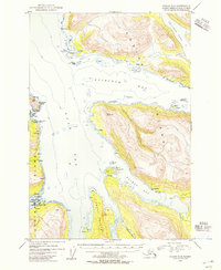
1954 · Kodiak C-6
USGS Topo · 1:63,360
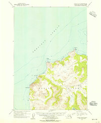
1954 · Kodiak D-6
USGS Topo · 1:63,360
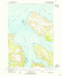
1954 · Kodiak D-5
USGS Topo · 1:63,360
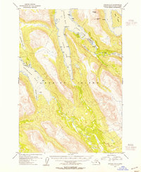
1954 · Kodiak C-5
USGS Topo · 1:63,360
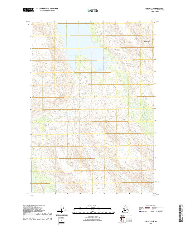
2021 · Kodiak C-5 SW
USGS Topo · 1:25,000