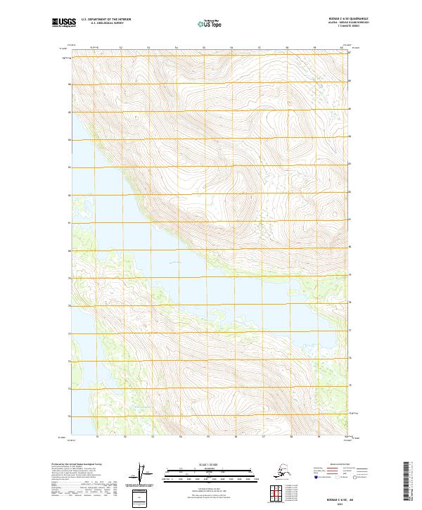
2021 Map of Kodiak C-6 SE
USGS Topo · Published 2021About this map
Zachar Bay dominates the central portion of this remote coastal landscape on Kodiak Island, where deep water meets steep topography. This recent survey illustrates the intricate tidal environment of the bay and the neighboring Browns Lagoon to the south. The terrain is characterized by a significant network of water bodies and dramatic elevation changes, captured through contours based on the National Elevation Dataset. Historically significant as part of the maritime geography of Alaska, these features are presented within a strict framework of Public Land Survey System boundaries, including segments of t30s r28w and t31s r28w. The map emphasizes the natural hydrography and coastline, providing a clear record of the area's physical state in the early 21st century.
Find a feature on this map
8 named features on this map. Tap any name to fly to it.
Don’t see what you’re looking for? This feature index may not catch every label — zoom into the map to look around manually.
Map Details
Editions of this 2021 Kodiak C-6 SE Map
This is the sole edition of this map. No revisions or reprints were ever made.
Other maps of this area

1952 · Kodiak
USGS Topo · 1:250,000

1952 · Kodiak B-6
USGS Topo · 1:63,360

1952 · Kodiak C-5
USGS Topo · 1:63,360

1952 · Kodiak B-5
USGS Topo · 1:63,360

1952 · Kodiak C-6
USGS Topo · 1:63,360
1954 · Kodiak C-6
USGS Topo · 1:63,360
1954 · Kodiak B-6
USGS Topo · 1:63,360
1954 · Kodiak B-5
USGS Topo · 1:63,360
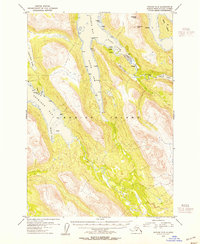
1954 · Kodiak C-5
USGS Topo · 1:63,360
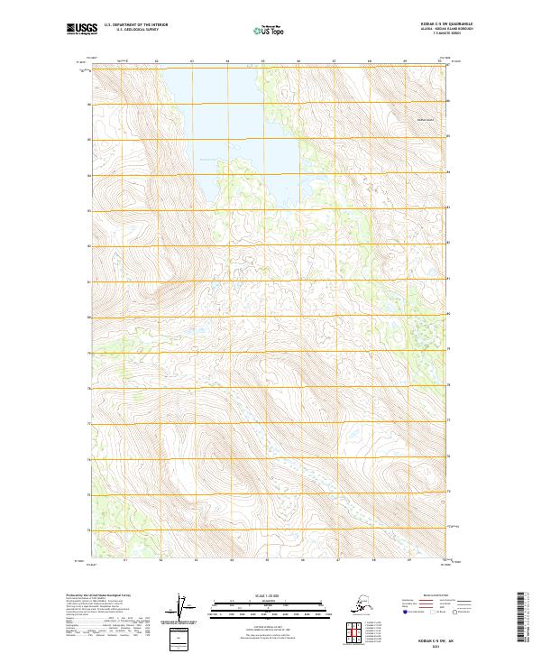
2021 · Kodiak C-5 SW
USGS Topo · 1:25,000