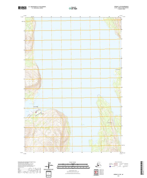
2021 Map of Kodiak C-6 SW
USGS Topo · Published 2021About this map
Larsen Bay serves as the primary coastal settlement on this portion of the Kodiak Archipelago, situated at the entrance to the protected waters of the bay that shares its name. The map detail highlights the small-scale grid of the village, including First Street, Second Street, and Third Street. This remote maritime outpost is oriented around the shoreline, with transportation connectivity anchored by the Larsen Bay Airport located just south of the main residential area. To the east, the deep waters of Uyak Bay dominate the landscape, separating the mainland of the island from Amook Island. The terrain rises sharply from the coast, defined by several prominent coastal features such as Carlsen Point, which marks a significant bend in the shoreline. The spatial arrangement of the village against the massive scale of the surrounding inlets reflects the traditional Alutiiq and commercial fishing heritage of this coastal community.
Find a feature on this map
15 named features on this map. Tap any name to fly to it.
Don’t see what you’re looking for? This feature index may not catch every label — zoom into the map to look around manually.
Map Details
Editions of this 2021 Kodiak C-6 SW Map
This is the sole edition of this map. No revisions or reprints were ever made.
Other maps of this area

1951 · Karluk
USGS Topo · 1:250,000

1952 · Kodiak
USGS Topo · 1:250,000

1952 · Karluk
USGS Topo · 1:250,000

1952 · Kodiak B-6
USGS Topo · 1:63,360

1952 · Karluk B-1
USGS Topo · 1:63,360

1952 · Karluk C-1
USGS Topo · 1:63,360

1952 · Kodiak C-6
USGS Topo · 1:63,360
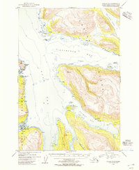
1954 · Kodiak C-6
USGS Topo · 1:63,360
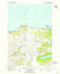
1954 · Karluk C-1
USGS Topo · 1:63,360
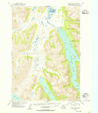
1954 · Karluk B-1
USGS Topo · 1:63,360